The National Weather Service in Las Vegas has issued an advisory for a significant weather system expected to impact the Southern Sierra and southern Great Basin regions with major snowfall early this week. NWS Las Vegas reports a break in the systems for today ahead of the oncoming Pacific storm, set to commence snowfall tomorrow and persist through Tuesday night. As the storm develops, cooler and drier conditions are predicted for Thanksgiving Day, with another low pressure system eyeing the Southern California Coast by the next weekend.
Las Vegan residents this morning experienced a more subdued atmosphere with diminishing elevated winds which will continue to decrease across the Mojave Desert throughout the day, although a band of west-southwest gusts between 15-25 mph may prevail across areas of San Bernardino, southern Clark, and northern Mohave counties into the late morning as this weather episode unfolds, there will be light rain showers or snow flurries, mostly confined to eastern Lincoln County and southwest Utah, which aren't expected to have significant impacts within the NWS's area of responsibility.
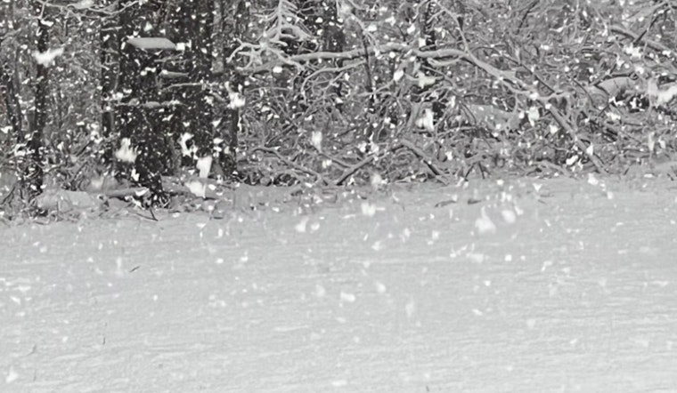
In preparation for the incoming storm, a Winter Storm Warning is in effect for the Eastern Sierra Slopes above 7,000 feet from early tomorrow to Wednesday morning; this includes a separate advisory for the White and Inyo Mountains for the same time period. The Winter Storm has potentials to cause notable disruptions, including perilous driving conditions and widespread infrastructure closures; individuals making Thanksgiving travel plans are urged to take heed of these warnings and stay updated with weather developments through reliable sources.
Whilst certainty in weather forecasting remains elusive, the current projections suggest that a trough pattern will persist through Wednesday, a change in weather patterns is anticipated thereafter with approaching high pressure leading into the weekend, and depending on the speed of this transition, there could be continued snowfall at lower elevations or a tapering off by Wednesday. As the pattern shifts, the impact on regional precipitation, temperatures, and snow levels could vary with parts of northern CWA possibly receiving renewed rainfall, whereas the Mojave Desert and Colorado River Valley might remain dry.
Aviation impacts include continued gusty winds around the Harry Reid International Airport, with early-morning gusts between 15 and 25 knots transitioning to westerly gusts in the afternoon. Although a 10% chance exists for light northeast winds in northern Las Vegas, the prevailing scenario predicts westerly components until sunset, after which, nighttime winds are expected to be light and variable. Pilots should anticipate few to scattered clouds at or above 7,000 feet with broken mid-to-high level clouds persisting.
Local spotters are instrumental in capturing real-time weather events and are encouraged to report significant observations following standard procedures.


