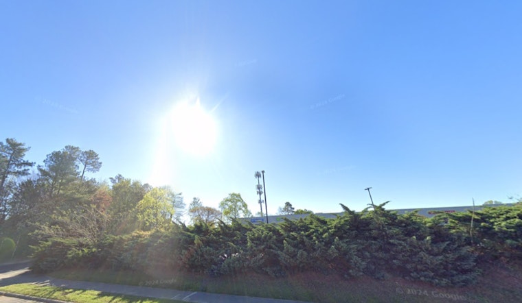
North Carolina has been experiencing unseasonably warm weather this November, with temperatures soaring to record-breaking highs. CBS 17 reports that Raleigh hit 81 degrees yesterday, surpassing the previous record high of 80 degrees set in 1986. This spike in temperature is around 16 degrees above the typical average for this time of year.
Such an onset of warmth prompts questions among local residents and meteorologists alike. It's too soon to tell if this will be the warmest November on record, but with an average temperature of 58.3 degrees from the record-setting November of 1985, any coming weeks' readings will be crucial. The Climate Prediction Center has also indicated an expectation for higher than average temperatures throughout the month.
Exploring the causes behind these warmer days, WFMY News 2 explains that a persistent upper-level pattern is to blame. If one looks back at October, the month was already presenting warmer trends, averaging 1.6° above normal each day.
The crux of the issue is the jet stream, which has been positioned farther north than it typically settles. This anomalous placement hinders the flow of cooler air into the South along with the frontal systems. It also impacts storm tracks, as well as the formation of frontal boundaries, thus contributing to the extended warm periods North Carolina currently finds itself within.


