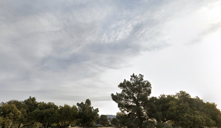
The National Weather Service in Las Vegas has issued a forecast for today and overnight, predicting increasing winds and the possibility of precipitation spreading eastward. According to their latest Area Forecast Discussion, gusty south-southwest winds are expected to develop across the western half of the region this afternoon, with mountain snow and light valley rain potentially affecting areas north of Las Vegas. More seasonal conditions are anticipated to return by Christmas Day.
Those planning last-minute shopping or commutes should be aware of wind gusts predicted to range between 40-55 mph in certain areas. Wind advisories are in effect for parts of Esmeralda, Nye, and western San Bernardino counties, as well as the Owens Valley and Death Valley regions in Inyo County. The Spring Mountains are expected to see some snowfall, with a 50-60% chance of at least 4 inches in Kyle Canyon and a 70-80% chance in Lee Canyon. According to the NWS, these conditions, combined with gusty winds up to 50 mph, may lead to hazardous travel conditions.
On the wetter side of the forecast, light rainfall is expected to primarily affect central Nye and Lincoln counties, with a 40-70% chance of at least 0.10" of rain. Las Vegas may experience isolated areas of measurable rain, though most areas are likely to receive only a trace amount. The forecast indicates that this light rain may result in slippery road conditions, as it could mix with oil and grime on the roads without fully washing it away.
Following Christmas Eve, a brief period of ridging is expected to lead to quieter conditions. However, there is a chance of light precipitation in the northeast regions on Thursday. Long-term forecasts indicate that a broad ridge will remain in place through at least Saturday. As the New Year approaches, there is some uncertainty, but one model suggests the possibility of a trough bringing increased north winds and some precipitation, though confidence in this scenario remains low at this time.
Aviators should note that winds at Harry Reid Airport will generally follow diurnal patterns, increasing later in the day. The forecast calls for sustained winds of 10-15 knots, with a 40-70% probability of gusts exceeding 25 knots between 02Z and 05Z, which may affect flight operations. Ceiling levels are expected to remain relatively high but may drop to around 8,000 feet during the period of strongest winds. Any rain at the terminal is expected to be minimal.
For those traveling by air or road, spotters are encouraged to report any significant weather or impacts in line with standard operating procedures. The National Weather Service reminds that, even during festive periods, it is important to be aware of weather conditions and adjust travel plans as needed.


