As we coast through the final days of the year and into the fresh beginnings of the new, the National Weather Service in Las Vegas has provided an update on weather conditions for the region. A stalwart high-pressure system is set to remain above the Desert Southwest, bringing with it dry conditions and temperatures that sit comfortably above seasonal norms as we lead into the New Year. Minor disturbances are forecasted to grace the Southern Sierra and Great Basin with gusty winds today, tomorrow, and potentially stretching into New Year's Eve, according to an area forecast discussion released by the National Weather Service.
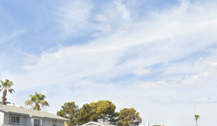
The winds, however, are not the only visitors sweeping through. High clouds are predicted to parade across the sky, doing little to dampen the warmth, with temperatures expected to soar several degrees above the norm. The Owens Valley particular, preparing for a windy embrace, is under a Wind Advisory from 10 a.m. to 7 p.m. tomorrow—anticipating gusts that could accelerate to 50 mph. Residents downwind, in the Eastern Sierra, may feel the gusts' effects all the way to Highway 395.
While the high Sierra and the higher terrains of northern Lincoln County are slated for a modest snowfall measurably insignificant, topping out around 2-3 inches. The anticipated precipitation seems but a whisper of winter's potential—a fleeting touch of snow mainly above 9,000 feet. Aspendell, perched at an altitude of 8500', is holding onto a mere 10% chance of witnessing at least an inch of snow. This information was gleaned from a recent statement issued by the National Weather Service.
Looking beyond the weekend, the outlook from Monday through Friday suggests a continuum of dry northwesterly flow. A modest, unobtrusive pulse of energy may traverse through the eastern Great Basin early Tuesday, likely to result in a slight downturn in temperatures. However, a subsequent high amplitude ridge is forecast to build, which will sustain dry and mild conditions into the dawn of 2025. For aviators, operations at Harry Reid Airport and across southern Nevada, northwest Arizona, and southeastern California appear free from ominous weather-related disruptions, with the exception of winds possibly exceeding 30 knots in particularly affected areas.
The spotter community is on alert, standing by to report significant weather or impacts in accordance to standard operating procedures. The current climatic dance card points to a relatively benign celebration of nature's whims, albeit with the occasional wind-swept twirl as we bid farewell to 2024 and usher in a hopeful and serene 2025.


