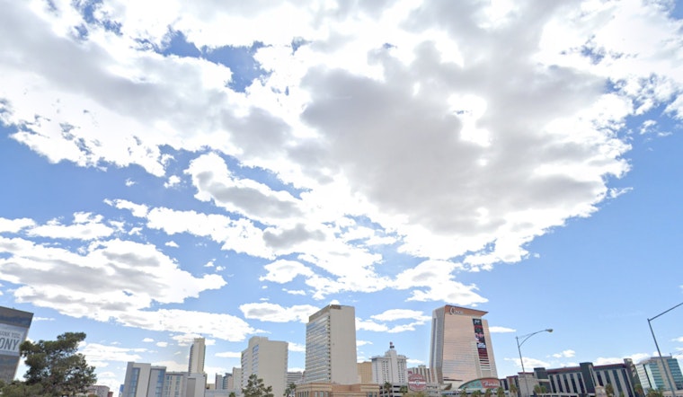
The National Weather Service in Las Vegas has forecasted the continuation of the current dry and mild weather through the weekend, with breezy conditions expected in the Colorado River Valley until they begin to weaken tomorrow, according to their morning update. The region has been experiencing mid- to high-level cloud cover, particularly in Inyo County, and occasional gusts along the river are expected to peak around 25 MPH before subsiding later in the day.
Beyond the immediate calm, a change is looming for next week, around Christmas Eve, when the weather is expected to shift, bringing shower activity and possibly mountain snow. The NWS anticipates a quiet pattern persisting until the festive period, when conditions may turn wetter. Temperatures will continue to rise above normal through Monday, with only a minor wind uptick expected near the Sierra and northern Owens Valley. However, according to the National Weather Service's area forecast discussion, winds will generally be light, and temperatures will climb 8-12 degrees above normal.
As Christmas approaches, the synoptic weather pattern is set to undergo a notable change, displacing the current ridge as a Pacific trough moves in, bringing a quick round of winds and precipitation chances. While the likelihood of precipitation and impactful winds is higher northwest of I-15, Las Vegas Valley's chances have also increased. Holiday travelers should stay informed, as the development of the weather system could lead to potential travel disruptions, with snow probabilities of 40% for Aspendell and 20% for Lee Canyon.
For aviation interests, light and diurnal winds will be the theme, with wind speeds staying below 8 knots at Harry Reid and occasional gusts along the Colorado River Valley affecting local airfields such as KEED and KIFP, expected to lessen overnight, as per the NWS aviation forecast. High altitude few to scattered clouds above 25,000 feet are anticipated to continue through late tonight for most of the region. Spotter information has not been particularly noteworthy, but the NWS encourages reports on any significant weather or impacts according to standard operating procedures.


