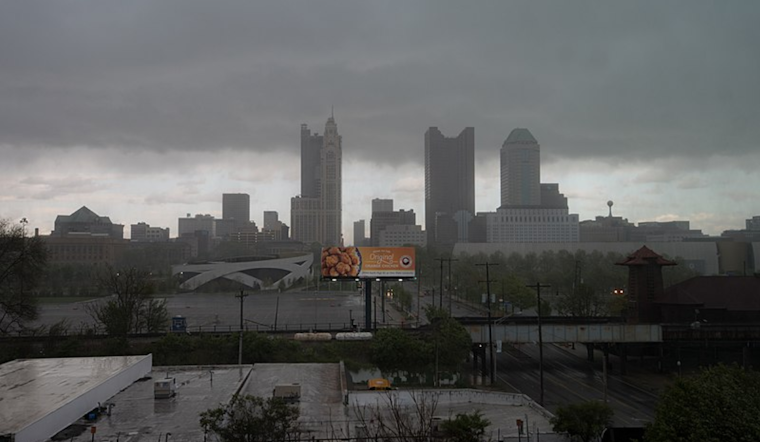
As Christmas Eve inches closer, Columbus, Cincinnati, and beyond residents should keep their umbrellas at hand. According to the National Weather Service (NWS), a cold front is expected to make its way across the region, set to dissolve come Tuesday while high pressure emerges in its stead.
This shift in the weather brings an added consequence – a lingering chance of rain persisting through the week as the Ohio Valley feels the impact of the high gradually moving eastward. The locals of these regions are advised to expect at least to carry their rain gear until Thursday sporadically. As for temperatures, they are forecasted to mainly hover in the low to mid-40s, reaching slightly higher south of the Ohio River.
The weather pattern holds more than just rain in its folds. The National Weather Service notes that "Partly cloudy skies early will see increased mid and high level clouds this morning," predicting further cloudiness and an increasing chance of precipitation as the day advances. The coming rain is associated with a cold front lying to the northwest, which isn’t expected to cross over the area until Tuesday.
Residents looking forward to Christmas Day might not enjoy the hoped-for sunshine, but at least the rain remains light. "Forcing will be weak, so any rain would be light," as put by NWS reports. As Christmas festivities commence, the temperatures are anticipated to stay within the same range, providing consistency in this period marked by climatic unpredictability.
For aviation practitioners, the weather scenario poses potential operational challenges. "VFR conditions will prevail over the north this morning," observes the NWS. However, visibility concerns may not be significant, with cloud ceilings lowering to IFR levels towards the end of the forecast period. Airlines and pilots must be prepared for MVFR/IFR conditions lingering into Tuesday, with further possible disruptions extending to Thursday.
As the week wanes, the forecast promises warmth – a mild solace in the face of the less-than-merry the region will be experiencing. "After lows mainly in the 30s, highs will range from the mid 40s north to the lower 50s south," as per NWS, ensuring that as the year draws to a close, the chill in the air will at least be tempered by slightly warmer temperatures, intact with the region's late December norms.


