As many folks across Ohio prepare for the holiday season's festivities, the weather plays a co-starring role in shaping plans and travels. The National Weather Service provides a snapshot of the coming week's immediate and extended weather outlook for the Columbus and Cincinnati regions, down to Wilmington and beyond.
The forecast, less dramatic than the holiday lights strung across sleepy town centers, suggests a modest shake-up: intermittent upper atmospheric disturbances through Thursday night, with precipitation likely but anticipated to be mild and unspectacular, as the National Weather Service reported. The real grabber is an upper-level low coming hot or wet from Texas. It’s slated to Churn northeast into the Ohio Valley by Friday, amping up the holiday with a good shot of rain across the area.
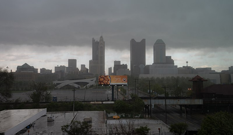
Today, the weather narrative is a low, overcast sky cover, pinning down temperatures with predicted highs just under the 40s in the northern reaches to just shy of 45 in the southern third of the central western region. "Adding those 2-3 degrees, afternoon highs should range from a little under 40 in west central Ohio to a little under 45 in the southern 1/3 of the CWA," per the NWS forecast.
For a glimpse beyond today, Wednesday's weather seems like a Xeroxed copy of Tuesday’s, with the persistent cloud cover acting like a cozy blanket ensuring overnight lows don’t stray far from daytime highs: a small dip to the high 30s to lower 40s is predicted. "I liked that tomorrow’s highs were +- 1 deg from today’s, which tells me again that the cloud cover will be blanketing the region, and lows can’t/shouldn’t be more than 3-4 (less) deg from highs," the NWS reports suggest. While not bursting with drama, the precision of these meteorological musings echoes the subdued, hushed anticipation of the winter solstice.
The long-term look into the weekend and early next week keeps up with the low-key holiday vibe. A brief dry slice on Thursday is expected, ahead of a couple of weather systems pressing through Friday into the weekend. The potentially stronger system later Saturday into Sunday merits an eyeshade, bringing more chances of rain but keeping temperatures unusually warm for late December’s standards - with the practical possibility of reaching the 50s and, dare one say, tiptoeing into the lower 60s for areas hunkered down south of the Ohio River.
Travelers and staycationers alike will be interested in the aviation forecast, which packs a few surprises: MVFR cloud coverage steadfastly camps out today, with the possibility of IFR conditions creeping in by Wednesday morning. Pilots blipping in and out of Ohio's airspace must stay on guard for low stratus clouds set to saunter through well into the week, potentially waxing and waning between visibility categories in the usual cryptic dance of winter weather.
As we close in on bidding farewell to 2024, the weather, like a polite guest, seems to be making modest inroads, ensuring that Ohio's inhabitants can focus on their festivities with family and friends with minimal atmospheric interruptions. But, as we all know, even the politest guests can sometimes surprise. So keep the wellies close by and embrace the season's unpredictable encore.


