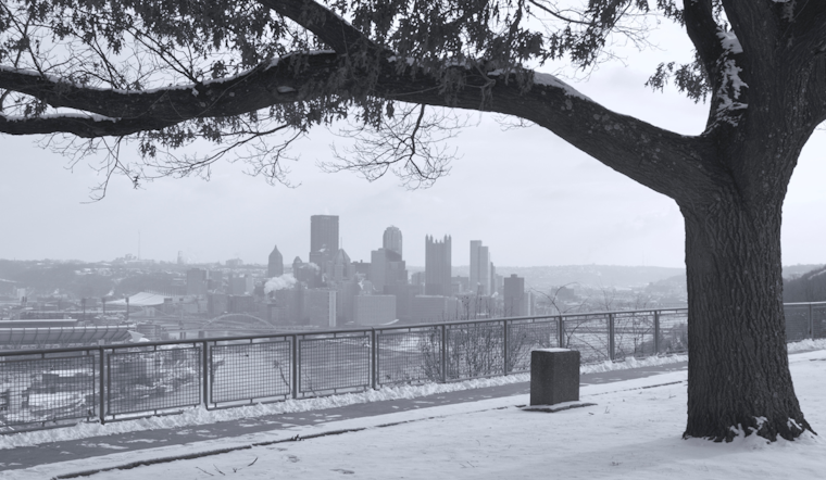
According to the National Weather Service, Pittsburgh is bracing for a blanket of snow as a low-pressure system ushers in widespread snow showers today into Saturday. With temperatures plummeting well below the norm following the cold front's passage, residents can expect a frosty lead-up to the Christmas holidays.
As the upper trough passes today, Pittsburghers will witness snow showers across the region, particularly in northwest PA and along the ridges. "Confidence is high for less than 1" accumulations for lower elevation areas through 6am Saturday," the National Weather Service's area forecast discussion relayed, indicating a 90 to 100% probability. In contrast, significant accumulations cling to elevated terrains.
Meanwhile, Saturday is set to continue with the wintry conditions as the trough moves east, potentially amplifying snowfall due to the lake effect and upslope activities. The high terrains could expect 1-2 inches of snow, but further analysis is needed as high-resolution data becomes available. A shift toward drier conditions is anticipated by Sunday, with cold yet calm weather under a dominant high-pressure system.
The lead-up to Christmas Eve may continue the cold, dry spell into Monday. However, there is an increasing likelihood of precipitation, including snow, in northern areas on Christmas Eve. However, notable accumulations seem unlikely, with only a 20-30% chance for greater than 1 of snow in northwest PA. By Christmas Day, a slight uptick in temperatures to just above average is expected due to gradual atmospheric height increases.
For travelers and aviators, the snowfall poses potential disruptions, with the first wave of snow anticipated to affect visibility and ceiling heights until 18z this morning. "Expect variability in ceilings/visibilities during this timeframe with restriction drops in snow," the National Weather Service's briefing detailed, prompting vigilance until conditions stabilize as the week progresses. Airports in west central to northwest PA are advised to be particularly cautious of lake-enhanced snow showers up until the early hours of Sunday.
No advisories or warnings are currently in place for PA, OH, or WV, signifying the region's manageable winter weather scene.


.jpg)