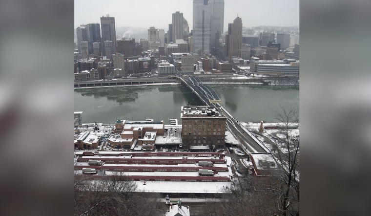
As the cold bite of winter makes its presence known in Pittsburgh, residents can expect the snow showers and gusty wind that have been chilling the city to diminish starting this morning, with the last of the lake effect snow hanging on north of I-80 into the afternoon; this respite comes courtesy of building high pressure which promises a dry weekend and a welcome uptick in temperatures heading into next week, as reported by the National Weather Service Pittsburgh PA.
For those braving the ridges or journeying south of I-80, the end of winter weather advisories brings a collective sigh of relief, with additional snow accumulation ceasing due to the Lake Huron connection band, which targeted a narrow stripe encompassing Venango, Clarion, and Jefferson counties earlier today, has shifted west and is expected to taper off following morning's early light. General accumulations are estimated at 1-3 inches for affected areas, though elsewhere, meager flurries have been noted, posing minimal visibility and accumulation impacts. This transition to clearer skies beyond I-80 signals a momentary calm, marking the end of advisories in those areas.
Heading into the weekend, the forecast hints at dry conditions prevailing, although there is a slim chance that light snow could dust areas north of I-80; the likelihood of any significant powder is minimal, with probabilities hovering around the 25% mark. Meanwhile, sun seekers in southern regions might spot breaks in the clouds by Saturday afternoon. All thanks to dry advection, temperatures will edge past the freezing point, especially in the southwest of Pittsburgh, and be seen more promisingly across southeastern Ohio. Then deeper southerly currents could sweep in higher temperatures by Sunday, with expectations of a mid-40s range spread wide across the region.
The long-term forecast foretells a sustained period of above-average warmth as the new week unfurls. However, this temporary spring-like respite gives way as temperatures take a downturn in the week's latter half, and doled out along with the fluctuating mercury is a cocktail of uncertainty—hinging on the caprices of the upper atmosphere—with both the quantity and timing of rain coming into question. Still, as the situation crystallizes, Monday and Tuesday promise to remain unseasonably warm before the norms reassert themselves come Wednesday. A drier, cooler Thursday is what we have on the horizon.
For those concerned with aviation, VFR conditions have been established across most terminals apart from FKL/DUJ, where snow showers are expected to wane as the day progresses into early afternoon, gusty surface winds are anticipated later today, albeit to a lesser degree than in recent days, routine gusts anticipated within the 15-20 knots range, and as the stratocumulus clouds expected to rise by early afternoon dissolve into the evening, mid-level clouds in a warm advection pattern will likely make a swift entrance, with the upcoming weekend seeing the potential for MVFR CIGs and light snow showers at FKL and DUJ. Yet, most terminals should maintain VFR, with the next forecasted restrictions and rain expected Sunday night through Tuesday as low pressure makes its approach.


