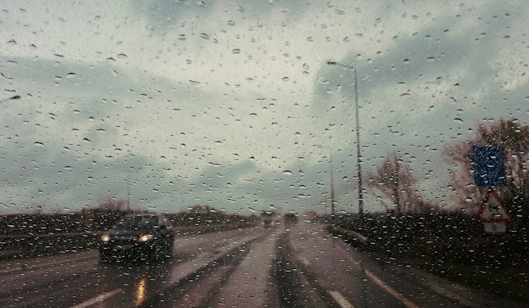
Raleigh residents should brace for a bout of inclement weather, with the National Weather Service (NWS) predicting a series of rain showers that began overnight and are set to continue throughout the week. According to NWS Raleigh's latest forecast, Monday will see rain mainly before 10 am, with expected highs near 58°F and the potential for gusts up to 18 mph; a soggy start to the week foreshadows the tumultuous conditions ahead.
Monday night's outlook isn't looking much drier, folks can anticipate more rain, particularly after 4 am, and areas of fog are thickening after that same early morning hour, the overnight low will hover around 52°F, while the chance of precipitation stands at 60%. The NWS has indicated that Tuesday could offer a temporary respite from the downpours, noting there's a chance of showers amidst primarily cloudy skies; high temperatures are anticipated to soar to an unseasonable 67°F with winds gusting as high as 24 mph.
Moving into midweek, conditions are expected to worsen, with heavy rainfall and thunderstorm possibilities on Wednesday, bringing an impactful 100% chance of precipitation and accumulation estimates between 1 and 2 inches. The NWS advises that there is a "marginal risk of urban flooding" Tuesday night and early Wednesday, while also stating "Locally heavy rain will pose a marginal risk of urban flooding Tuesday night and early Wednesday." which brings concerns for potential flash flooding in more densely populated or poor drainage areas.
While the latter part of the week promises clearer skies, the rapid transition will bring a stark drop in temperature, Thursday highs will barely reach 47°F after Wednesday night's showers taper off, and Raleigh won't experience much warmth with a nighttime low around 31°F. The sun is set to make a welcomed but brisk return on Friday, with highs lingering in the mid-40s, leading into a weekend that spells a mix of clouds and sun, as Saturday night will grow mostly cloudy, with temperatures again dipping near freezing.
The Hazardous Weather Outlook from the NWS calls for no current spotter activation; however, residents should remain vigilant and ready to report severe weather conditions if they arise. Folks across central North Carolina are advised to keep an eye on the skies and an ear to local weather updates as this week's forecast unfolds.


