As a cold front moves through Raleigh, North Carolina, the National Weather Service has issued advisories for fire danger and unseasonably cold weather. The National Weather Service warns of low humidity (around 25%) and strong winds (25-35 mph), which could increase the risk of fires today.
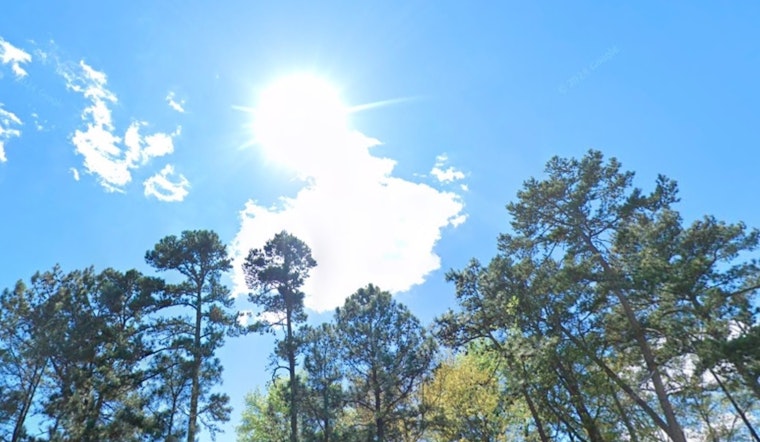
The National Weather Service warned that after a dry cold front passes this morning, humidity will drop to the mid-20s to 30% across central North Carolina. They issued a Fire Danger Statement, noting that the conditions are perfect for fires to start and spread quickly. With winds gusting up to 38 mph and sunny skies, the calm appearance could be misleading, as fires could easily ignite.
The National Weather Service forecast calls for continued cold, with clear skies tonight and a low of 21°F, feeling like 12°F with the wind chill. Friday will be sunny with a high near 41°F, but morning wind chills could be in the low teens.
The National Weather Service has issued a Hazardous Weather Outlook for the region through the next several days, warning of unseasonably cold conditions on Friday and Saturday. There may be showers early next week as temperatures rise, with a 40-60% chance of rain. The National Weather Service advises dressing in layers and ensuring pets stay warm indoors if possible.
The National Weather Service doesn't expect spotter activation but urges the public to stay alert and follow advice. If considering burning, it's important to consult local officials and use extreme caution. For more details, check NOAA Weather Radio or visit weather.gov.


