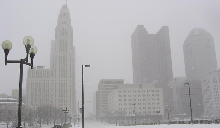
The cold is here to stay, folks. According to the National Weather Service, an arctic air mass has taken residence over the Columbus, Cincinnati, and Wilmington regions, bringing sub-zero wind chills our way. Frigid temperatures and the prospect of light snow toward the weekend will characterize the week ahead.
Isolated flurries, a common sight near central OH, seem to be making an ungraceful retreat, expected to stop entirely by sunrise. A break in the clouds allowed temperatures to plummet to nearly 10 degrees or even lower in some parts, particularly near southern OH and northern KY. If you thought last night was cold, brace yourselves for a repeat performance. Overnight lows, assisted by a clear sky and snowpack, might dip into single digits again.
Wednesday is not looking any warmer, and it's got a trick up its sleeve. The forecast suggests a potential for a fresh sprinkle of snow flurries late in the afternoon, mainly for central and west-central OH regions. Though the probability is low, several models show that if certain conditions coalesce, your locale could see some accumulations, so keep your snow shovels on standby.
As the sun sets on Wednesday, dry but cold conditions prevail courtesy of high pressure sweeping over our valley. With the snowpack stubbornly maintaining its grip, the temperature graph will likely dip into the deeper blues. If the skies clear out sufficiently, NWS Forecasters hint at single-digit lows and "some subzero reading possible" for the southwest. Continuing the chilly trend, the thermometer isn't expected to be too generous come Thursday either, with predicted highs stalled in the upper teens to low 20s.
The weekend forecast is shaping up with a bit more drama—though definitely of the cold variety. An eastern-bound upper-level trough is expected to drape the region, increasing the chances of snowfall as we head into Saturday. However, model disputes still leave us uncertain about the storm's intensity and travel plans. What's certain is that your weekend will likely require snow boots, with "categorical pops across our southeast" and modest accumulations in the cards.
Looking towards the horizon, while we might enjoy a brief weather respite on Sunday, a low-pressure system on Monday could throw us back into the snowy mix. With temperatures "moderating slightly," you may find a small degree of solace in the single digits, no longer feeling quite as biting.
The outlook for aviation isn't much better. Pilots and flyers, beware—MVFR ceilings prevail, and snow flurries could cause visibility issues tonight. The skies above will mimic the frosty fields below well into the next week.


