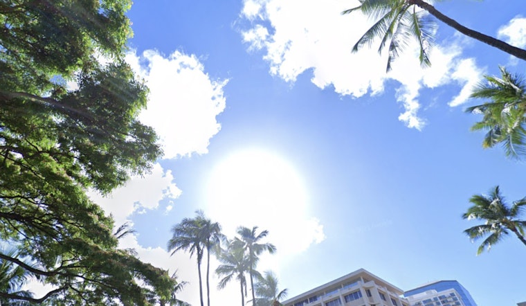
Honolulu residents can expect a continuation of moderate easterly trade winds through the middle of the week, with a weather shift on the horizon as we head towards the weekend. According to the National Weather Service (NWS), the familiar pattern of clouds and brief showers will favor windward and mauka areas initially. However, an approaching cold front and upper disturbance is anticipated to bring a change in conditions, potentially including showers and thunderstorms in parts of the state from Thursday through Friday.
Model forecasts are aligning to suggest that the trade winds will begin to be disrupted come Thursday. "Increasing moisture and instability associated with lowering upper heights and the front will elevate the potential for showers and thunderstorms," the NWS states. Despite most of the deeper moisture and more significant dynamics expected to remain north of the state, some locally heavy rainfall and stronger storms cannot be ruled out. These may interact with the local terrain, potentially intensifying conditions.
But there's a silver lining as we move into the weekend. The NWS predicts that the tumultuous weather will give way to a "more stable and dry air mass," with northeast trade winds making a return by Sunday. That means while Saturday may still see some rainfall, courtesy of residual moisture left behind by the weakening front, it should be minimal, with prospects for a sunnier end to the weekend.
For those with their eyes on the sky, the NWS forecasts moderate trade winds through Wednesday which will focus low clouds and showers over the islands' windward and mauka spots. Flying conditions should remain mostly unchallenged, maintaining a general VFR status, but the occasional MVFR condition in showers can be expected.
On the coastal front, seafarers should brace for a continuation of moderate to fresh trade winds through Tuesday, which will lighten midweek as the aforementioned ridge to the north weakens. A light wind regime is projected to follow on Thursday through week's end, accompanying the potential cold front. The NWS warns of a northwest swell building Friday into Saturday, likely to rise to levels necessitating a High Surf Warning, with altimeter passes over the source storm already showing 40-foot seas.
While fire weather isn't presently a concern as no critical conditions are anticipated, a High Surf Advisory remains in effect until this evening for several shores including Niihau, Kauai Leeward, and Oahu North Shore.
In terms of marine advisories, a Small Craft Advisory stands until 6 p.m. HST for waters around Kauai and Maui. Water enthusiasts should take heed of these warnings and exercise caution when entering potentially turbulent seas or surf conditions during this period of elevated activity and transition in weather patterns.


