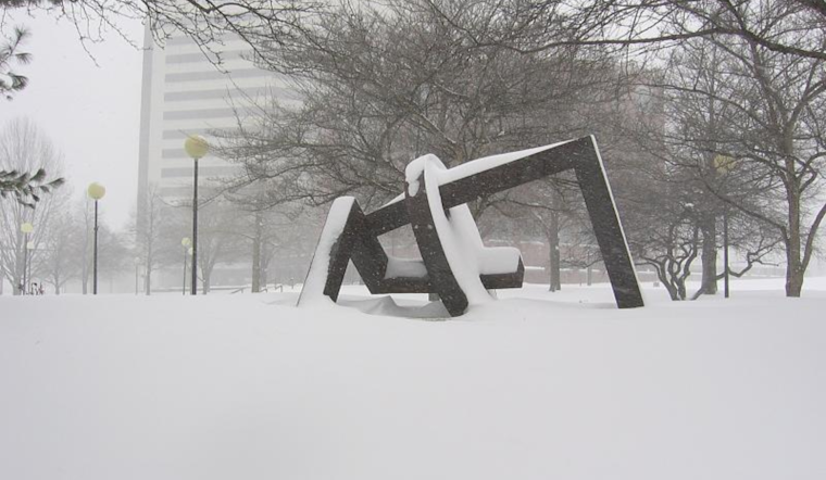
According to the National Weather Service, residents across the Columbus and Cincinnati regions should brace for a mix of snow showers and flurries as a weak cold front moves east throughout the afternoon and into the night. National Weather Service Forecast discussions indicate that accumulation is expected to be minimal, with a half inch or less likely, providing some relief to those concerned about significant snowfall.
Temperatures will fluctuate today, with highs ranging from the mid-20s in the north to the lower 30s in the south ahead of the cold front. Southerly winds could get locally gusty at times and will shift to the west as the day progresses, which aligns with the typical winter weather cycle given the time of year. The high pressure slated to build in after the front will then bring a noticeable temperature dip, with lows overnight hitting the single digits in the west and the lower teens in the eastern areas, as outlined by the weather officials.
Toward the weekend, another weak cold front is expected to move into the area, but not before a brief reprieve with high-pressure building into the region on Friday, clearing up skies and bringing mostly sunny to partly cloudy conditions. "Friday is to start with a few lingering flurries in the east before giving way to clearer skies," the NWS forecast discussion pointed out, making note of the colder highs, with upper teens to mid-20s anticipated.
The forecast next week suggests a generally dry stretch, at least up until Tuesday. Still, there's a slight chance of snow on Wednesday night that is expected to transition to a brief chance of rain on Thursday, a pattern residents in the Ohio Valley have grown accustomed to during the winter months. Temperatures should hover around normal for this time of year, with a southwest flow bringing a slight climb in temperatures during the weekend, as detailed in the long-term outlook from the National Weather Service.
For those traveling by air, "MVFR ceilings (1500-2500)" are anticipated to move ahead of the front with the possibility of some scattered snow showers affecting visibility at times. However, more severe IFR visibility drops could also occur. For those expecting to navigate the skies, the weather updates emphasized and looking beyond today, Sunday may bring another round of MVFR ceilings, so flyers should keep an eye out.


