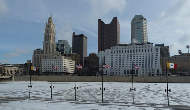
Batten down the hatches, Columbus and Cincinnati. It's going to be icier than your average winter wonderland out there. According to the National Weather Service (NWS) based in Wilmington, the Ohio Valley is in the grip of a cold snap that isn't showing any sign of letting up until Wednesday. They're hitting rock bottom to the frigid tune below zero, with wind chill values nosediving to nearly -20°F in some parts. Check out the NWS's latest Area Forecast Discussion for the full lowdown.
In a forecast with chins and temperatures dropping, the NWS advisory has hinted that Tuesday might feel a smidge "warmer" with slightly higher temps and milder winds, but don't be fooled. It will still be bitterly cold. While a Cold Weather Advisory remains steadfast through Wednesday morning, there's word that temps might not quite hit the criteria for a warning, at least in some areas.
But don't expect to ditch those layers yet. The NWS warns that despite the slightly "warmer" airs on Tuesday, "it will still be (and feel) quite cold," so it's best to stay wrapped up. With this Arctic chokehold clutching at the region, dry conditions will be the one constant until some clouds roll in ahead of another disturbance by Tuesday. This will bring with it a sprinkle of flurries or light snow, though any accumulations are expected to be light.
The real kicker comes Wednesday morning. As the NWS describes, with the high-pressure system sliding over Kentucky and skirting East, the already bracing conditions will level up to the peak cold of the week. Overnight temperatures are predicted to plummet further under zero for most, while a few outlying areas could see the mercury dive down to -10°F. While the winds take a momentary breather, we could be flirting with "Extreme Cold Warning" territory, though the NWS cautiously plays down the chances of that happening. Regardless, wrap up warm, Ohio - the frosty embrace of winter is tight.
Looking beyond the big chill, the NWS sees a "slight warm up" as we head towards the weekend, with temps finally pushing north of the freezing point come Saturday. It's not exactly balmy, but we'll take what we can get at this point. And for those daydreaming about fresh flakes, there might be some light snow on the horizon later in the week, with a shortwave trough sweeping by. Stay tuned to the skies!


