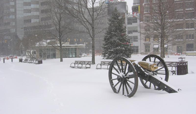
As Ohioans huddle under their warmest blankets, the National Weather Service in Wilmington has delivered some chilly news—according to its latest report, expect the deep freeze to persist a bit longer. With temperature readings sinking well below the cozy confines of zero degrees, thoughts naturally turn to the warmer days ahead, but for now, the forecast remains firmly in winter's grasp.
Relief from the cold, it seems, is on a slow march toward the Ohio Valley. The high-pressure system is camping out and keeping the mercury low, and it is expected to move east. While this Thursday will see yet another front potentially dusting us with flurries or light snow showers, temperatures stay stubbornly below the seasonal norm. According to the National Weather Service, "the coldest temps of this entire cold stretch are expected through sunrise" as the unfavorable conditions extend their stay. However, as we trudge toward the weekend, the hold of the cold is set to weaken, finally bringing back what can be called seasonable air to the residents of Columbus, Cincinnati, Wilmington, and their chilly neighbors.
Tonight, while we're buried in our beds, the skies above will clear, but don't let that fool you—the cold retains its bite. According to the NWS forecast discussion, "With the ~1038mb sfc high traversing in parts of the region, do think that most, if not all, areas have (or will) experience subzero air temps through early this morning." In the more rural pockets of central and south-central Ohio, you might wake to an even frostier reality with temperatures tumbling down to the negative double-digits. While many would hope for an uptick in temps, the outlook seems unwilling to cater to such desires, with lows forecast to hover in the mid/upper single digits above zero in central/south-central Ohio and Northeast Kentucky—hardly reprieve by any measure.
Into the latter half of the week, those same skies start shuffling their clouds back into place, setting the stage for the next act—a weak cold front sliding through on Thursday, ready to sprinkle some areas with a light coat of wintry icing. As per the National Weather Service's detailed analysis, "This disturbance, given the seasonably cold air in place, should provide just enough forcing amidst a meager moisture profile to generate additional scattered flurry or very light SHSN activity for the afternoon and evening," which could give some locations a dusting to a few tenths of an inch of snowfall. But if you’re counting on significant snowfall for your winter fun and temper expectations, the upcoming system is bringing more of a tease than a heavy blanket.
Looking past the immediate chill, the weekend offers a slight thermic upswing capable of thawing the frosty mood hanging over the region—the promise of temperatures edging above freezing registers as a welcome change from the shiver-inducing forecasts of late. While the National Weather Service doesn't herald the end of winter—high temps are anticipated to remain in the 30s—it seems that Ohio Valley residents can dare to dream of a slightly less frigid horizon.


