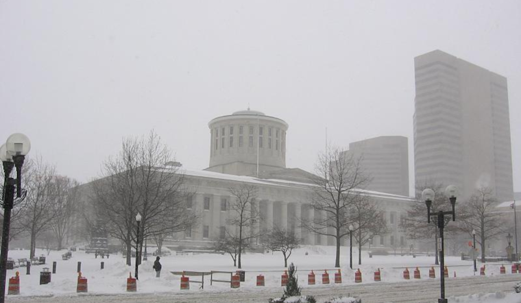
The climate pendulum swings again in the Ohio Valley, where residents are bracing for a roller coaster of weather conditions over the next several days. According to the National Weather Service (NWS), today's forecast promises cold and clear skies as surface high pressure takes hold. Temperatures will hardly climb, barely reaching the upper teens to middle 20s.
As the work week inches closer, the region is expected to find itself buried under yet another blanket of snowfall. "Latest guidance has increased QPF a bit for that area since earlier runs," NWS reports, forecasting a decent chance of 1-2 inches of snow accumulation across northeast Ohio Valley. The weather service also anticipates gusty winds, potentially intensifying travel disruptions and chill factors.
By Friday night, the snow will give way to rain as a warmer, wet system arrives. However, temperatures will rise to or slightly above normal only briefly before a cold front on Saturday marks the end of this short-lived warm spell. NWS warns of a subsequent "surge of Arctic air" as we head into Sunday, boldly pulling down the mercury to 20 to 30 degrees below the norm for early next week.
Travelers taking to the skies will be most affected Thursday as "light snow will develop near the end of the TAF period," primarily impacting airports north of CVG/LUK. While there remains some uncertainty surrounding the extent of snow, the forecast suggests that it "only brought down visibility at the Columbus terminals for now," the NWS cautions, indicating that conditions could swiftly deteriorate into IFR territories late Thursday into Saturday.
Ohioans are no strangers to winter’s whims. With each cold spell, residents double-check their layers and monitor the NWS forecasts. This essential service provides predictability in the otherwise unpredictable weather patterns that sweep across the Midwest.


