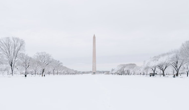
The National Weather Service (NWS) in Baltimore/Washington has issued an advisory effective from 10 PM this evening to 1 AM EST Tuesday for the Washington, D.C. area, central Maryland, and northern Virginia. According to the NWS Winter Storm Warning, residents should prepare for heavy mixed precipitation, with total snow and sleet accumulations predicted to range from 5 to 9 inches, and up to 10 to 12 inches in isolated areas if heavy banding occurs. Minimal ice accumulations are also possible.
The NWS cautions that travel could become very difficult, if not impossible, as the snowfall rate is anticipated to sharply increase late tonight into early Monday morning. Snow may also mix with sleet and, potentially, some freezing rain by Monday morning, more so along the Interstate 66 corridor. During the afternoon, a brief lull in precipitation could offer a temporary reprieve before a second round of heavy snow possibly hits Monday evening. This forecast, while solid, remains susceptible to change as the storm develops.
As the storm advances, the expected conditions are likely to significantly impact Monday's morning and evening communes. Residents are urged to prepare for the severe weather, with the NWS advising to keep "an extra flashlight, food, and water in your vehicle in case of an emergency." Updated road conditions can be obtained by calling 5 1 1, providing an essential resource for those who must travel during the storm.
Further complicating the weather scenario for the week, a Gale Watch is in effect for the middle Chesapeake Bay and lower tidal Potomac River from Monday evening through Tuesday evening. The NWS aims to actively monitor the situation, with spotters requested to report snow and ice accumulation measurements. Residents and travelers in and around the affected regions should remain vigilant and stay informed via official channels as this winter storm unfolds.


