A lingering low pressure system over Arizona is expected to bring scattered rain and snow showers to Mohave County today and tomorrow. Meanwhile, the rest of the region will experience dry conditions. According to the area forecast discussion by National Weather Service, this system's influence is set to subside as milder Pacific air enters later this week, raising temperatures across the area.
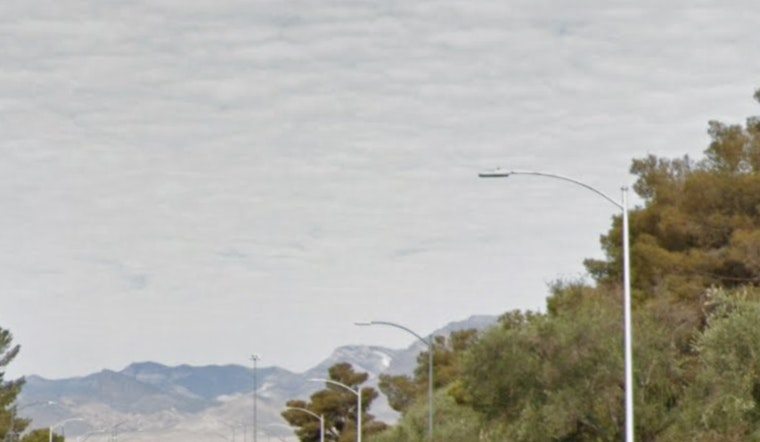
The weather pattern over southern Nevada and surrounding areas has been dominated by a low-pressure center, which is giving rise to varied weather manifestations. The latest satellite imagery shows this system positioned over southern Mohave County, spawning spotty gusty winds and impacts to the topography. Despite the minimal activity observed overnight, the National Weather Service maintains a Winter Weather Advisory for the higher elevations with expectations of afternoon snow showers, which are enhanced by orographic effects. "Brief snow rates up to an inch per hour will be possible," the advisory cautions, suggesting that more substantial weather may loom despite the current lull.
With the current weather system making an eastward retreat, the forecast for the second half of the week appears benign. By Thursday and Friday, an incoming ridge will usher in a period of calmer, drier weather with near-normal temperatures. However, this tranquility may be short-lived as a zonal flow is forecasted for the weekend, potentially introducing increased winds and precipitation. The intensity and location of these elements remain uncertain, but the forecast currently suggests a trend toward milder conditions.
Aviation interests in the region have their eyes on the skies as well, with the National Weather Service detailing specific conditions for airports like Harry Reid. "FEW to SCT cloud bases may reach as low as 8000 feet in the afternoon. Winds follow a typical daily pattern, shifting to the northeast this afternoon then to the southwest in the evening, with speeds under 10 knots," the service advises. Other southern Nevada, northwest Arizona, and southeast California airports are on alert for scattered cloud cover and light showers, supplemented by breezy winds typical of afternoon conditions. Spotters are also prompted by the National Weather Service to report significant weather occurrences as they unfold.
The upcoming week could see a climatic tossup, hinging on the battleground between a strengthening ridge and an upper-level trough that looms in the Pacific Northwest. Depending on the outcome, the region might either continue to bask under dry and warm conditions or brace for a bout of precipitation and wind. "Its too early to determine which scenario is more likely to play out for next week," states the National Weather Service, acknowledging the inherent unpredictability of the forecast for the beginning of next week.


