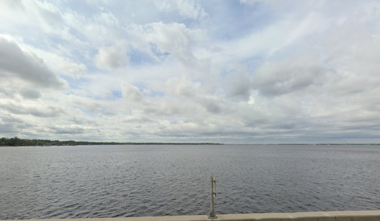
Residents in the Jacksonville area are being cautioned to brace for strong winds and dicey beach conditions as the National Weather Service (NWS) has issued multiple advisories, including a high risk for rip currents and a wind advisory. The rip current statement extends through late tonight along the Southeast Georgia and Northeast Florida beaches, indicating "dangerous rip currents and rough surf," the NWS warns.
The areas affected by the high rip current risk include Coastal Nassau, Coastal Duval, Coastal St. Johns, and Coastal Flagler in Florida, as well as Coastal Glynn and Coastal Camden in Georgia. "Rip currents can sweep even the best swimmers away from shore into deeper water," the NWS notes. Beach-goers are advised to swim near lifeguards and if caught in a rip current, to relax and float, not swimming against the current, but following the shoreline if they're able.
Adding to these conditions, a wind advisory is also in place for tomorrow from 7 AM to 7 PM EST. The advisory area encapsulates portions of northeast and northern Florida, as well as southeast Georgia. According to the NWS, residents can expect "southwest winds 20 to 30 mph with gusts up to 40 to 45 mph." These gusty winds, they caution, could blow around unsecured objects and lead to downed tree limbs and potential power outages.
For those planning any outdoor activities or driving, particularly in high profile vehicles, extra caution is advised due to the anticipated strong winds. The NWS also suggests securing outdoor objects to prevent them from being tossed about and causing further issues. Details and updates on these advisories can be found on the NWS's official website, where the agency continues to monitor and report on evolving weather conditions in the Jacksonville region.


