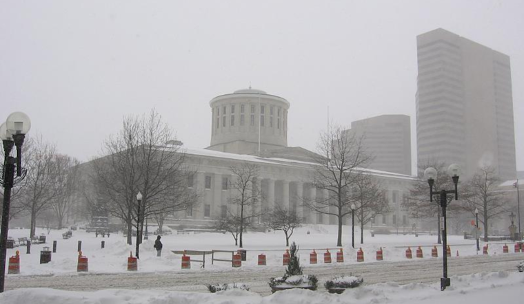
The midwestern states brace for a melange of unpredictable weather as the National Weather Service (NWS) forecasts a potent combination of heavy rain and snow for the regions surrounding Columbus and Cincinnati. Residents in these parts should be ready for what's teetering between a wintry handshake and a wet slap across the face. The NWS details that high pressure is expected to hold steady through Friday before a disturbance sweeps through. This gives way to a more robust system that could saturate certain locales with rain and blanket others in frosty snow, particularly north and west of I-71.
Morning commuters in northern Indiana might have encountered some light flurries or a few snow showers thanks to a pesky secondary disturbance mentioned in a statement obtained by the National Weather Service. Combine that with persistent clouds and gusty winds reaching 15 to 20 mph, and you've got a day that's likely to see temperatures nosedive with "very little rebound this afternoon." High pressure sweeping in tonight could spell relief from the winds and clouds, setting the stage for a sunny but still frosty Friday, with lows teetering between 10 to 20 degrees and highs in the 30s.
The weekend doesn't promise the idyllic wintry postcard scene either. According to NWS Lead Forecaster McGinnis, the first round of a complex system could introduce an "elevated band of snow" heading east toward eastern Indiana and western Ohio by Friday evening. This initial flurry is only the preamble to a changeover from snow to freezing rain and eventually unfrozen rain by Saturday morning. A Flood Watch has also been issued, highlighting the "current area of greatest confidence for heavy rain," targeting areas near and south of the Ohio River and reaching as far as Pike County, OH, foreshadowing conditions ripe for flooding.
The deluge continued through Saturday afternoon, ushering in a second wave of downpours to saturate the soil and put rivers on alert. As the surface low deepens and creeps northeastward into the night, residents should brace for the "window of greatest concern for heavy rainfall leading to flooding." The flood watch, stretching from Owen County, KY, to Pike County, OH, underscores the seriousness of the impending wall of water. McGinnis warns that "if the trough becomes more amplified, this will bring higher PWATs northward," according to the National Weather Service, possibly extending the need for further flood watches.
For avid aviators, conditions aren't particularly favorable. The NWS forecasts suggest “MVFR to IFR conditions expected Saturday and Sunday” with the added challenge of wind gusts tipping the scales at 20 kt or higher come Sunday. The takeaway? If you're in Ohio, Kentucky, or Indiana this weekend, it might be time to rethink that outdoor weekend adventure or, at the very least, pack an extra set of dry clothes and watch for the latest weather updates.


