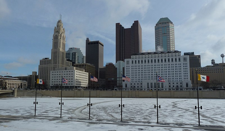
The Midwest has been grappling with a cold spell that's brought on more than just a desperate need for chapstick. Snow flurries and a nosedive in the thermometer have been the order of the day, particularly in the Columbus and Cincinnati regions. But according to the National Weather Service, things are about to take a turn for the better, at least where the mercury's concerned.
Today, "a few flurries and snow showers will linger," and if you've managed to retain digit sensation, you might have noticed that fluffy stuff coming down. It's a hangover effect from a low-pressure system that can't seem to quit the region. Accumulations have been modest, with less than half an inch reported in most places. That's a silver lining, considering this has been occurring "against a backdrop of very cold ground/air temps," with most major roads staying relatively clear—apart from some of the flurries that have been playing tag with commuters earlier in the day.
Temperatures have been hugging the lower teens as dawn breaks, and it's so cold that even a few single digits have popped up like unwelcome guests at a summer picnic. Early risers in "parts of SE/EC IN" have experienced wind chill values that have sauntered below zero, yet the National Weather Service stopped short of issuing a blanket advisory. Thankfully for those not keen on freezing their faces off, "temps will rebound into the lower 20s area-wide" as the day presses on.
Looking ahead, the National Weather Service forecast paints a slightly less icy picture. A streamer of "lake-enhanced moisture" is expected to seep into some northern parts, possibly stirring up a "narrow axis of continued snow shower or flurry activity." So, don't shelve those shovels just yet if you're in the Mercer Co OH to Delaware/Licking Cos OH corridor. However, the snow show is supposed to ease off come tonight, giving plows and salt trucks a much-needed breather.
Entering the weekend, a "moderating trend in temperatures evolves," which—let's face it—is the meteorological version of a warm hug. If you've been yearning for a reason to stash the thermal onesie, this might be it. A high-pressure system is aiming to bring "dry conditions," with temperatures set to tickle "the mid 40s to lower 50s" as we slide into next week. According to the National Weather Service, chances of precipitation will persist, but it's "likely primarily rain," which marks a notable shift from the winter wonderland vibe we've been wrestling with recently. While weather models engage in their usual tête-à-tête over the specifics, it's safe to say that our weather is rounding a corner—from freezing cold to just cold enough for a light jacket.


