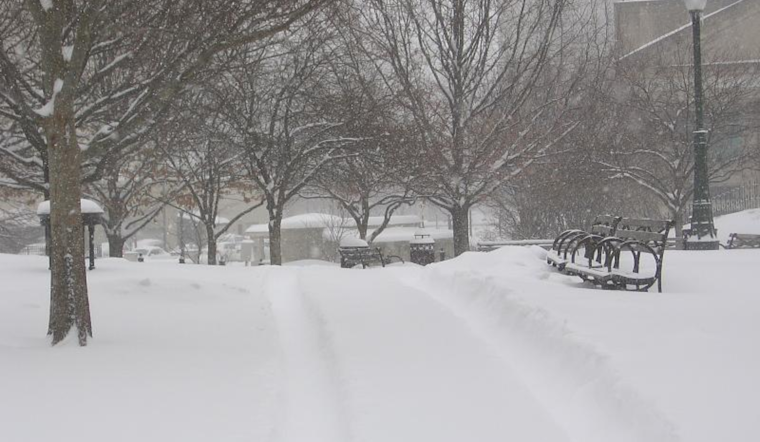
The National Weather Service (NWS) in Wilmington has issued an update for the weather conditions expected to affect Columbus, Cincinnati, and surrounding areas. After a frontal passage, morning conditions saw drizzle and fog that would eventually lift due to an incoming high-pressure system. A mixed bag of precipitation and a freeze potential looms on the horizon from Wednesday through Thursday, so it’s time to brace for potential travel disruptions and icy encounters. National Weather Service's latest forecast discussion details the developments ahead.
While the drizzle and post-frontal fog seem stubborn, the weather experts anticipate limited impacts on the roads for now. The winds, keeping the visibility from nosediving too much, are expected to dissipate the fog as the day progresses. For those craving some sunshine, patience is a virtue, as today's highs are anticipated to linger in the cooler realm of the 30s and 40s, according to the NWS report.
Heading into the evening of Tuesday and through Wednesday morning, the dry spell provides a brief respite before the next system moves in. The NWS notes, "There will be the potential for some sleet on the leading edge of the precipitation." As warmer air aloft enters the equation, a bout of freezing rain could complicate conditions come Wednesday evening, ushering in the long-term forecast period.
The situation escalates Wednesday night into Thursday when a short wave crosses our path, propelling a surface low to amble east along a boundary perched over the Ohio Valley. The NWS prediction model suggests a 40 to 60 percent chance of ice accumulation north of I-70, posing a slippery situation for the unprepared. With temperatures expected to creep above freezing by Thursday morning and even the chance for the odd thunderstorm, folks to the north should keep a weather-wary eye out. Adjusting NBM hourly temperatures down 1 to 2 degrees, it hail a slightly colder scenario with potential ice accumulations up to two-tenths of an inch in northern counties.
As the weekend approaches, aviation interests take note: the NWS cautions that MVFR to IFR ceilings and visibilities are likely Wednesday night into Thursday night, with thunderstorms possible. Another disturbance scheduled for the weekend means aviation conditions could be rocky again by Saturday. Flyers, beware, always check for updates, and prepare for potential changes to your travel plans. Keep a tab on the National Weather Service's announcements for a comprehensive view of weather projections and advisories.


