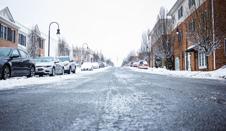
Raleigh residents are steeling themselves for a winter wonderland—or more accurately, a winter hazard zone—as the National Weather Service in Raleigh issues a Winter Weather Advisory that remains in effect from this morning until tomorrow. The advisory covers a large portion of central North Carolina, stretching from Forsyth to Wake counties, including the cities of Greensboro, Durham, and Raleigh. The NWS predicts a mix of sleet and snow, with total accumulations up to two inches and the potential for a light glazing of ice.
The advisory, which aims to precisely start at 7 AM today, will extend to 10 AM EST tomorrow, creating challenges for commuters during the Wednesday evening and Thursday morning rush hours. "Roads, and especially bridges and overpasses, will likely become slick and hazardous," the NWS advisory warns. The NWS strongly suggests residents to slowly and with caution travel while the conditions persist. Information on the latest road conditions can be gleaned by calling 5 1 1.
Tomorrow's weather brings a glimmer of hope with a gradual clearing expected. According to the detailed forecast on NWS, tomorrowwill be marked by a chance of snow in the early morning, shifting towards mostly sunny skies with highs approaching 35 degrees. While the wind chill may dip as low as 15, the gusty northwest wind should eventually subside by nightfall.
Looking ahead, Raleigh will be met with gradual warming, and clear skies by the weekend. The forecast projects a sunny Friday and mostly sunny Saturday, with daytime temperatures climbing to around 40 and 46 respectively. The NWS encourages residents to stay informed by tuning into NOAA Weather Radio or visiting their website for weather conditions going forward.


