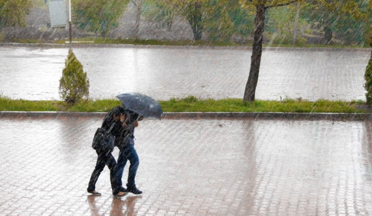
The National Weather Service in Raleigh has issued an advisory detailing rainy and windy conditions for central North Carolina today, followed by a clearing trend and sunny days ahead. According to the latest forecast on NWS, showers are expected to persist through the morning, potentially causing minor flooding, especially in low lying and poor drainage areas.
Besides the rain, the region is bracing for brisk winds as a cold front sweeps through. The weather service warns of gusts reaching up to 25 mph throughout the day. The skies will begin to clear tonight, paving the way for a sunny tomorrow with highs in the upper 40s. Despite the chilly start, with lows forecast around 29 degrees, no hazardous weather is anticipated for today or tonight.
Looking ahead to the weekend, the weather outlook becomes more unsettled. Saturday may see a slight chance of rain in the morning, followed by a greater likelihood of showers in the afternoon. The hazard increases on Saturday night with showers bringing along potential new precipitation amounts of up to a quarter of an inch.
Sunday's forecast is straightforward: showers are sure to drench the area, carrying a resolute 100% chance of precipitation. This defies the uncertainty that typically lingers around forecasting and paves the way for a murky end to the weekend. Nevertheless, the sun is expected to make a triumphant return just in time for Washington's Birthday on Monday, brightening the skies and spirits alike.
As the week progresses, the National Weather Service anticipates no hazardous weather conditions, promising a period of respite from the weekend's showers. The region can look forward to mostly sunny skies on Tuesday, with temperatures hovering in the low 50s. However, the clouds are expected to gather again by Wednesday, bringing a 50% chance of rain and cooler temperatures in the mid-40s.


