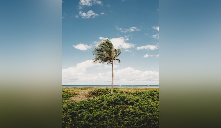
Honolulu locals can expect to maintain their sunglasses and sun hats handy through the mid-week, as a dry and stable air mass lingers around the Islands. According to the National Weather Service in Honolulu, a gentle east-southeast wind flow is set to keep the climate mild through Tuesday, with a subtle shift to more southerly winds predicted as the week progresses. This weather pattern means that the islands will see clouds and potential light showers focusing on windward and mauka regions, along with afternoon seabreezes kicking up some cloud cover and showers in leeward areas. Come nightfall, land breezes are expected to sweep away cloudiness in those leeward and interior localities.
For those looking to understand the mechanics behind the anticipated weather, a surface ridge centered far northeast of Hawaii is the primary influencer. The latest data appears to show light to moderate east-southeast trades, which, coupled with mid-level ridging moving in from the west, will allow conditions to stay dry and stable. High-pressure influences will weaken tonight and deviate south through Tuesday, "allowing the local pressure gradient to relax, thus weaken winds," reports the NWS. While the western half of the state gears up to experience a land/sea breeze regime dominance, the east is predicted to see more of a hybrid trade wind and land/sea breeze pattern.
As the week edges toward hump day, the NWS forecasts winds to turn more southerly in the west while maintaining an east-southeast direction in the east, in preparation for an approaching front. Despite a slight moistening of the boundary layer and slightly higher dew points, strengthening mid-level ridging should mean mostly dry and stable weather will be the status quo through to midweek.
In terms of potential precipitation, a front might drift northwards or sweep through parts of the state by the week's end, prompting an increase in rainfall probabilities, especially for the western half of Hawaii. Yet, no major weather concerns are presently anticipated "due to weak surface convergence along weak upper level support," as per the NWS. For the aviation sector, VFR conditions will predominantly reign, with light to moderate east-southeast low-level flows dictating flying conditions into Tomorrow. Clouds and sporadic showers are to be anticipated, mostly windward and mauka, though interior and leeward areas may have their share during the afternoons influenced by sea breezes.
Mariners, too, can expect a pretty stable period out at sea. A weak surface ridge north of the Hawaiian Islands is forecasted to prevail through Wednesday, maintaining light to moderate east-southeast winds. As for swells, while a long period northwest swell is on the decline, two more northwest pulses are on the horizon, with potentially advisory-level surf heights expected. By the weekend, the possibility of high surf warnings looms as an even larger northwest swell could make its presence known, putting north and west-facing shores on alert for potential significant wave action. On the flip side, east and south-facing shores are projected to experience smaller surf echelons.


