The National Weather Service has indicated that the soggy conditions Columbus and Cincinnati have been experiencing will dissipate this morning following the departure of a cold front, ushering in drier air and much-awaited relief. It's not exactly sunny days ahead yet, with those in these Ohio regions needing to keep the umbrellas close by, as high pressure is gearing up for an encore with clearer skies anticipated for tonight and reasonable forecasts into Friday.
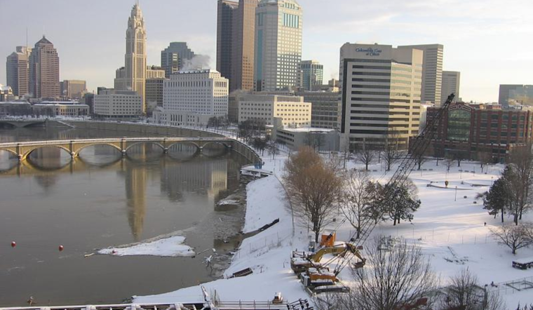
The early morning hours were notably chilly—temperatures stubbornly hovered at or below the freezing point, particularly along the I-70 corridor, prompting a Winter Weather Advisory that lasted until 7 AM EST, raising concerns about potential slick road conditions, but "as surface winds become more southerly through mid morning, temperatures across our north should slowly climb above freezing," according to the National Weather Service. After the drizzle ceases, the thermometer is set to rise, albeit modestly, with diverse highs spanning from low 40s northwest to near 60 in the far southeast corners.
Come tonight, the promised high-pressure system is expected to sweep in from the southeast, fostering a decrease in cloud coverage and paving the path for a Friday with mostly sunny morning skies. However, some mid-level clouds will likely roll in later during the day as energy traverses the Great Lakes. Temperature-wise, Ohioans are looking at a crisp set of mid- to upper-20s overnight, and daytime highs on Friday will range quite variably from mid-30s in the north to mid-40s in the south.
Looking further ahead, "active pattern expected throughout the next week," as reported by meteorologists, with the upcoming Saturday shaping up to be a less tranquil affair, shortwave promises to interrupt the fleeting peace—bringing with it another bout of precipitation to the Ohio Valley, Friday night stands as the calm before the storm, with the heavier showers forecasted for Saturday afternoon. There's some speculation of freezing rain around I-70. However, most data suggests a warmer, rainier outcome, although, with the weather, it’s all in the air until it's on the ground.
Aviation may also encounter a bit of turbulence with lingering precipitation and frontal passages stirring up visibility and cloud cover issues, so get ready for some potential MVFR to IFR conditions spanning from Saturday through Sunday morning. Additionally, those with a penchant for flying should note that gusty winds are a strong possibility come Saturday. Our skies are scripting a bit of a meteorological drama, complete with intermissions of tranquility and sudden crescendos of weather activity. Truly, Ohio's atmosphere is never one to shy away from a dynamic display.


