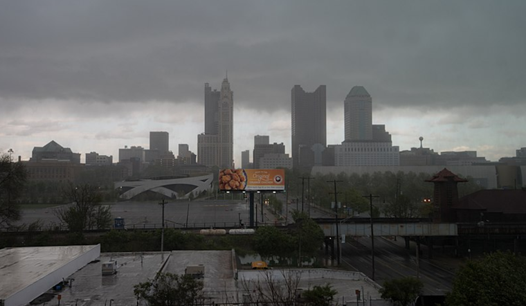
The National Weather Service has issued a caution for a wintry mix expected to morph into rain today. As reported via the National Weather Service's Area Forecast Discussion, the early morning hours saw snow showers, potentially adding up to an inch in some areas. However, the real concern for the commuters might be the patchy freezing rain and drizzle, specifically targeting the southern Ohio and northern Kentucky regions into the mid-morning hours. It's worth noting that while the roads might be treated, a few icy patches may still pose risks, especially on bridges and overpasses.
The Service's early warnings extend beyond this morning as the day's precipitation is expected to increase significantly as a low-pressure system climbs north from Tennessee. Although temperatures predominantly sit in the 30s to lower 40s during daylight, they are forecast to rise overnight. Nonetheless, communities in the northwestern reaches may still experience temperatures hovering just below freezing, resulting in potential freezing rain accumulations. Mercer County, in particular, could see ice amounts nearing 0.10 inches, according to the report.
Further to the northeast, low pressure is anticipated to trudge on through the area tonight, prompting increases in temperature due to warm air advection, with the possibility of middle to upper 40s in areas of central Ohio down to north-central Kentucky post-midnight. However, a stark contrast in conditions is expected across the region. As indicated in the forecast, freezing temperatures may persist in the far northwestern counties.
As Saturday approaches, another meteorological predicament looms. A new low-pressure system is set to pull in, bringing mostly rain during the day and then buckling to snow as the night catches on. Concerning the onset of weekend conditions, the forecast envisions "locally heavy rainfall," with ensemble models from both the GFS and ECMWF indicating a greater than 50 to 60 percent chance of rainfall exceeding 2 inches, particularly in regions southeast of the I-71 corridor—a situation ripe for potential flooding concerns.
The outlook for aviators is no less challenging, with possible IFR conditions shifting in today through Thursday and resuming from Saturday through Sunday. This is in response to the low-pressure system that will pivot east across the Ohio Valley, intensifying the need for travelers both on the ground and in the sky to stay sharply tuned to real-time updates and advisories.


