Residents across central North Carolina are urged to exercise caution due to increased fire dangers and an upcoming bout of severe weather. The National Weather Service (NWS) in Raleigh has issued several warnings highlighting the environmental conditions — conditions reflective not of myth nor metaphorical lean, but of actual, physical tempests and their consequences upon the land and its people.
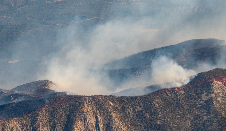
The Special Weather Statement issued by the NWS has advised that very dry fine fuels and low afternoon relative humidities will "promote an increased fire danger across NC through this afternoon." Winds are expected to surge, occasionally gusting to around 20 mph. These factors combined have the potential to quickly turn an innocuous flicker into a devouring flame. "People are urged to avoid outdoor burning today," and a notable stipulation from the NWS runs as so: "If you must burn, use extreme caution since fires can grow quickly and become dangerous in these conditions." This suggests not an eschewing of responsibility, but rather an urging to weigh the imperatives of necessity against the backdrop of danger.
According to detailed forecast by the NWS, the region is not just bracing for fiery risks but is also at the cusp of severe weather on Wednesday. The prediction is stark: a 100% chance of precipitation with the possibility of severe storms that may include damaging straight-line wind gusts and isolated tornadoes during the morning to early afternoon hours, followed by the potential reemergence of scattered thunderstorms later in the day. The southerly winds themselves plan to be unforgiving, with gusts potentially reaching 35 to 45 mph.
The NWS also issued a Hazardous Weather Outlook signifying the gravity of the situation for Wednesday: "There will also be potential for the redevelopment of scattered thunderstorms with a risk of hail and damaging wind gusts later in the afternoon through evening." This signals to the community a need for vigilance and the predilection for preparedness over complacency. Storm spotters are predicted to play a crucial role, with NWS sharing, "Spotter activation will likely be needed Wednesday."


