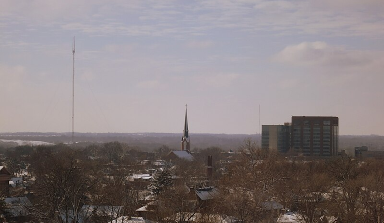
Residents in and around Columbus and Cincinnati should brace themselves for a dynamic week of weather changes, according to the latest National Weather Service in Wilmington updates. The NWS forecast discussion, as of Monday morning, indicates Ohioans will be seeing a transition from dry and cool conditions early in the week to gusty winds and rainfall by midweek, with temperatures on the rise.
On Monday, the 1027 high-pressure system is expected to move off toward the Atlantic Coast, allowing for a broader pattern change; a deepening low-pressure system will begin to form on the eastern side of the Rockies by Monday afternoon, initiating a significant shift from dry weather to an active period. Folks living in northern KY and southern OH should pay attention, even though fire weather isn't really a concern despite the dry atmosphere, those light winds keeping fire risks at bay for the time being.
The working week kicked off with "a typical late winter/early spring day," as the National Weather Service forecast notes, with high temperatures hovering in the mid to upper 40s. Winds will be picking up speed along the OH/IN border, while southern areas may still feel the lingering effects of the departing high pressure. Come Tuesday, locals can expect stronger southerly flow with gusts into the 20s, which will drive temperatures up into the balmy upper 50s and mid to upper 60s range along the Ohio River.
The situation ramps up significantly Tuesday night as showers are likely to move in from the west. On Wednesday, the area faces the potential for 35 to 45 mph wind gusts, with higher gusts possible, as a storm complex moves northeast into the central Great Lakes the region, while the residents witness a switch; strong low-level moist ascent could trigger widespread showers on the heels of a vigorous 70 knot 850 mb low-level jet, these elements playing a dance of precipitation and force across the skies, the NWS long-term forecast revealed.
Looking ahead, the volatile weather is expected to continue with a chance of rain and snow showers leading up to the weekend, with temperatures set to swing from warm to much colder within days. Ohioans should keep an eye on NWS alerts and reports for updates on possible wind advisories and the latest aviation impacts.


_-_exterior,_German_Village_landscape_in_winter.jpg)