Sacramento residents should prepare for a significant weather change this week. After a period of calm weather with temperatures in the upper 60s to low 70s across the Delta, Valley, and foothills, meteorologists, according to the National Weather Service in Sacramento, CA, are forecasting a shift. Moderate to heavy rain, mountain snow, and strong winds are expected due to a series of approaching weather systems, which may cause travel disruptions throughout interior Northern California.
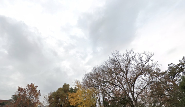
The calm before the storm includes scattered clouds as a cutoff low moves toward Southern California. Despite the light cloud cover, seasonable temperatures and light to occasionally breezy winds are expected today and through much of Tuesday, according to the NWS. Winds are predicted to pick up late Tuesday, with gusts between 25 to 35 mph, and potentially reaching up to 40 mph in wind-prone areas. Residents are advised to secure outdoor items before the winds strengthen.
Precipitation is expected to begin moving into inland California overnight on Tuesday. An atmospheric river is accompanying the dominant midweek trough, which is forecast to deepen along the West Coast. This setup indicates that the heaviest rainfall is likely to occur on Wednesday. Gusty south to west winds are expected from Wednesday into Thursday, with the strongest gusts, ranging from 35 to 45 mph, forecast to affect the Delta, Valley, and foothills from late Wednesday morning through the afternoon, according to the NWS.
The Sierra is expected to experience challenging conditions, with wind gusts possibly reaching 55 to 65 mph. Snow levels are forecast to be between 4500 and 5500 feet on Wednesday morning, lowering to 2000 to 3000 feet by Thursday morning. A Winter Storm Watch will be in effect from Tuesday evening through Thursday evening due to these conditions. Snow accumulation could range from 4 inches to 4 feet at higher elevations, potentially impacting travel across the region. The NWS reports that periods of very heavy snowfall may occur, particularly along the Sierra and southern Cascades on Wednesday.
Looking beyond the immediate weather concerns, conditions are not expected to clear up quickly. After the midweek system moves through, a weaker system will follow closely behind, bringing additional precipitation on Friday, particularly in mountain areas. Additionally, a stronger trough may develop by the weekend. With several weather systems in the forecast, the NWS highlights the importance of staying informed and preparing for a series of wintry conditions.


