The National Weather Service in Wilmington, Ohio, has announced a somewhat temperamental forecast for Columbus and Cincinnati as we head into the weekend. A weak upper-level disturbance is set to bring a few showers and possible thunderstorms today, particularly along and south of the Ohio River. This light disturbance ushers in a much stronger system slated for the weekend, with widespread showers and the possibility of thunderstorms, as well as gusty winds thrown into the mix. However, it's not all doom and gloom—a high-pressure system and a drier airmass are expected to sweep in early next week, according to the NWS forecast discussion.
As we peek into Thursday's plan, a stationary boundary lingering west to east is anticipated to interact with mid-level energy from an eastward-moving short wave, particularly across the southern quarters of the state. The potential for weather action comes in the form of "isolated to scattered showers and a few thunderstorms," with the odds for precipitation peaking in the "slight chance to low chance category," the NWS discussion detailed. The mercury also dances a varied jig today, with the northern spots hitting the mid-60s and southern areas warming up to the mid-70s.
Any residual rain is expected to say its goodbyes when nighttime falls, bowing out as the sun dips and the short wave bids adieu to the east. This sets the stage for mostly clear skies and low temperatures hovering in the comfortable spectrum of the upper 40s to lower 50s. On Friday, winds are set to pick up as southerly flows strengthen thanks to a low-pressure system knocking on our doors, and it'll pull up high-level clouds as daytime temperatures push for the mid to upper 70s.
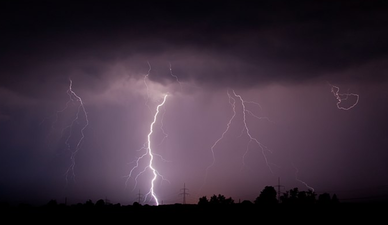
Looking deeper into the weekend, the weather narrative complicates with a "strong low pressure system" making its trek from the Central Plains to the upper Mississippi River Valley by Friday night. The resulting increase in shower and storm chances escalates through the night, though it appears the threat of severe weather remains modest, according to the NWS long-term forecast. Temperatures for this period plant firmly in the 'unseasonably warm' category, with lows near a balmy 60 degrees area-wide.
Come Saturday, keep an eye to the sky—you might catch a brief break in the stormy saga during daytime hours due to a "relative minimum in convective coverage." Yet, there's a catch: a mix of moderate potential atmospheric energy and plenty of shear creates the right conditions for severe weather, should storms indeed bubble up. And the blustery southerly gusts expected could make hats a hazardous choice, with speeds that might surpass 35 mph. By Saturday evening, however, the show really kicks off, with a deluge of showers and storms threatening some serious flash flooding if conditions align just so. But like all things, this too shall pass, with clearer skies on the horizon come Sunday, bringing cooler and drier air into next week.


.jpg)