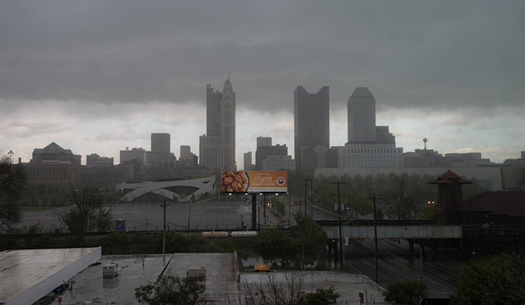
The National Weather Service, forecasts an unsettled weather pattern through this weekend in Columbus, Cincinnati, and the surrounding areas, with isolated showers expected today and more widespread showers and storms rolling in late tonight through early Friday. According to their latest discussion, the region will see temperatures near normal today before warm-up hits the area over the weekend.
While a few sprinkles have been reported across south-central Ohio this morning, most areas will stay dry until daybreak, offering a brief reprieve before the weather turns. The National Weather Service's report indicates that mostly sunny skies will be prevalent in central Ohio during the morning before clouds gather across eastern Indiana and the Tri-State by afternoon.
An embedded disturbance is expected to trigger isolated showers later in the day, focusing on a corridor from eastern Indiana through northern Kentucky, though the exact placement remains somewhat uncertain. Columbus and the northeastern third of the area are likely to stay dry, with the wetter conditions targeting the southwest third by mid-afternoon. Again, rainfall amounts will be minimal, mostly amounting to a few hundredths of an inch, but temperatures are predicted to rise into the upper 50s to lower 60s, with south-central Ohio possibly hitting the mid-60s.
Transitioning into Friday, a "rather significant pattern change" is taking shape, with more widespread showers and thunderstorms anticipated as a warm front pushes northward. The bulk of this activity is forecasted to spread eastward through Ohio Valley, picking up after midnight as warm air advection and frontogenesis drive convergence, triggering precipitation. While the showers and thunderstorms early Friday might bring just half an inch of rain or less, the coverage will be extensive, especially around dawn. Despite limited instability in the atmosphere, "some thunder certainly cannot be ruled out," according to the NWS report. The afternoon should see a clearing trend, with mid to upper 70s expected later in the day amid brisk southwestern winds.
Looking ahead to the weekend, the National Weather Service explains that initial shortwave energy moving out of the Ohio River Valley could bring showers by Saturday afternoon. However, by Sunday, the forecast anticipates the potential for stronger storms aided by increasing instability and strong vertical shear – although how the weather unfolds remains uncertain due to possible lingering cloud cover. The warm weather trend will start the period before briefly dipping early next week and then resuming its climb by Wednesday. Aviation outlooks suggest the potential for MVFR conditions from early Friday through early Monday.


