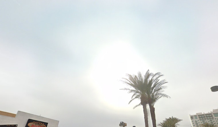
The National Weather Service Las Vegas NV has issued a weather update indicating that the shiny lights of Las Vegas will be subject to gusty winds and potential light rainfall as a stronger weather system makes its way through the region. According to their Area Forecast Discussion, the city is set to experience southwest winds of 25 to 35 mph with gusts up to 50 mph. Areas near lakes can expect waves reaching 2-4 feet, particularly on Lake Mead this afternoon, while visibility near dry lake beds may drop to less than 3 miles due to blowing dust.
In terms of precipitation, the higher elevations above 8000 feet could see a modest accumulation of 2-5 inches of snow by this evening. However, snow amounts across the Sierra are not expected to be significant. Ahead of a cold front pushing through central Nevada this afternoon, parts of Esmeralda and central Nye counties might experience brief bursts of moderate rain or snow, with snow levels sitting between 4000-4500 feet. Yet any snow accumulations in these areas are projected to remain light with rain amounts "generally less than a tenth of an inch," as communicated by the NWS.
Monday's forecast suggests isolated rain or snow showers mainly over the higher terrain, as dynamics from the low-pressure system still influence the weather. Despite a lack of significant moisture, precipitation will be light, alongside a continuation of gusty northwest winds, albeit to a lesser degree than on Sunday. The mercury is set to drop around 4-7 degrees from Sunday's mild temperatures.
Looking ahead to midweek, a shortwave of ridging is expected to bring temperatures back to normal for early March. This tranquility, however, is only a precursor to yet another Pacific trough, slated to bring increased moisture into the area around Wednesday and Thursday. Snow levels are anticipated to fluctuate initially before descending to 4000-5000 feet by Thursday. The NBM identifies a roughly 80 percent probability of 6 inches or more of snow for areas like Lee and Kyle Canyons, as well as the Sierra. "Showers may linger across our eastern zones Friday as the low departs, with ridging building back in for the weekend," the NWS elaborates, hinting at a return to more stable conditions following the dynamic midweek weather scenario.


