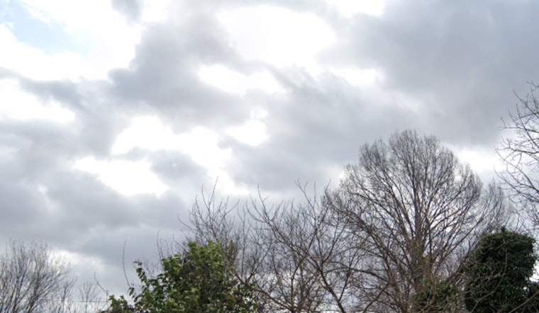
The National Weather Service predicts moderate to strong trade winds for Honolulu, with rainfall expected to continue through early next week. Windward and mountain areas, as well as Kauai and Oahu, will experience cloudy and rainy conditions, according to the National Weather Service.
The National Weather Service reports a high-altitude inversion over Kauai at 10,000 feet, while Hilo has an inversion at 8,000 feet. A high-pressure system, with a central pressure of 1036 millibars, is located north of the islands, keeping moderate to strong trade winds and heavy rainfall in the region. By next Wednesday, the high-pressure system is expected to move northeast, possibly allowing a cold front to approach, though there is uncertainty about how it will affect the weather. Some models predict an easterly wind shift, while others suggest lighter trade winds will continue.
Breezy trade winds will continue for several days. "Low cigs and SHRA should mainly impact windward and mauka locations," which may briefly reduce visibility. A Small Craft Advisory is in effect for most waters due to strong trade winds. A small northwest swell will bring chest to slightly above head high waves, with conditions expected to moderate by the weekend. East-facing shores have reported wave heights near 10 feet, but conditions are expected to improve by next week, as stated by the National Weather Service.


