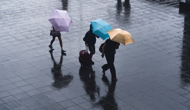
The weather across the Las Vegas region has been a bit cantankerous lately, and it seems that trend isn't quite at an end, with the National Weather Service out of Las Vegas predicting "scattered showers and isolated thunderstorms" for the day. While the overall impact of these showers should be pretty minimal, they come with the possibility of small hail and gusty winds - an unpleasant combo if you're caught unprepared. The weather should clear up heading into the weekend, but today will be chillier than usual, with temperatures running significantly below the April norm, as per the NWS.
For anyone hitting the higher elevations, snow above 5000ft might lightly dust the landscape, though with the sun poised to reassert itself over the weekend and into next week, any winter wonderland scenes will be short-lived today's weather mirrors that of yesterday with a deep upper-level trough cradling western Arizona, though, with less moisture in the air the showers are expected to be more selective, setting their sights predominantly on the terrain. Despite the potential for snow accumulation in some high-elevation spots, the focus today is less on blankets of white and more on the temperatures, which will edge slightly higher than yesterday's but still fall 10-15 degrees below what we'd expect for early April.
On Friday, Mohave County might see a few isolated showers thanks to some lingering cold air aloft, but the rest of us will be basking in drier conditions. Saturday amps things up with "breezy north winds" and especially gusty spells are set to sweep through the Colorado River Valley - where they're betting on gusts zooming over the 40 MPH mark, so hold onto your hats, literally. By Saturday, we're promised a return to something like normalcy, at least in terms of temperature, trading in heavy jackets for lighter layers.
The real turnaround is expected for Sunday onward, with a high-pressure system muscling its way across the Desert Southwest, spelling a bye-bye to the showers and a big hello to rising thermometers. By the time Monday and Tuesday roll around, Las Vegas is flirting with an 80-degree tease, and we're cranking up the HeatRisk to "Low" - a signal to hydrate and stay cool for everyone, but particularly for out-of-towners, anyone who's maybe enjoying a few too many poolside cocktails, and those without the luxury of air conditioning range of temperatures climbs even higher mid-week with Wednesday potentially pushing us to "Moderate" HeatRisk levels, as reported by NWS Las Vegas.
The NWS Las Vegas reports that winds at the airport will remain light today, shifting from west to southwest and then north as the evening approaches. However, potential showers could cause unpredictable winds. Friday will bring clearer skies, but northeast winds could cause runway issues. Southern Nevada, parts of California, and Arizona can expect a calmer day, though scattered showers and wind shifts may cause disruptions, especially in mountainous areas.
The National Weather Service (NWS) is calling on weather spotters to report any significant weather events. These reports help improve local weather tracking, especially during changes in conditions.


