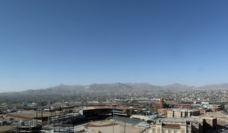
El Paso and surrounding areas in southwest New Mexico are bracing for potential wildfires, as the National Weather Service (NWS) has issued a Fire Weather Watch. With low humidity levels and strong west winds expected to reach up to 50 mph, Tuesday could see critical fire weather conditions across the region. According to the National Weather Service, any fires that develop will likely spread rapidly. Outdoor burning is not recommended.
The watch encompasses El Paso County in Texas, as well as the Southwest Mountains, Deserts and Lowlands, and the South Central Lowlands and Southern Rio Grande Valley in New Mexico. The forecasted conditions include relative humidity between 9 to 14 percent and experimental RFTI of 6 to 7, which the NWS categorizes as Critical to Extreme. These conditions serve as an ominous precursors to fire outbreaks that could be challenging to control.
Residents are urged to remain vigilant and adhere to safety guidelines to prevent the occurrence of fires. The forthcoming low-pressure system moving over the Pacific Northwest is set to bring drier air and increased winds, which will subsequently accelerate the drying of fine fuels and raise energy release components (ERCs) back above normal seasonal averages.
While recent rainfall over mountain forests may have mitigated fire risk slightly, the expected weather conditions are seen as a perfect storm for the emergence of wildfires. As reported by the National Weather Service, the strongest winds are forecast to occur Tuesday and Wednesday afternoons, with gusty west winds midday. Outdoor activities that could ignite fires should be avoided, and local communities should prepare for potential emergencies.


