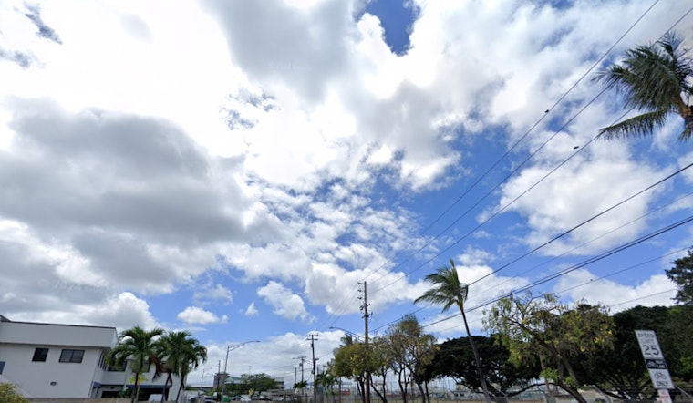
Residents and visitors in Honolulu can expect to continue experiencing moderate to breezy easterly trade winds throughout this week. A high-pressure system is maintaining these conditions, which are usual for the area. According to the National Weather Service in Honolulu, cloud and shower activity will predominately affect windward and mauka regions, with the occasional spillover shower reaching some leeward communities.
The high-pressure area, with a central pressure of 1031 millibars, situated roughly 1050 miles north of Honolulu, keeps the trade winds in steady motion. While the high is predicted to grow stronger and shift northeastward from today through Monday, it will eventually move southeastward around Tuesday and Wednesday. The trade winds are expected to persist, although a slight easing could come into play from Thursday into the weekend due to a couple of fronts stalling to the northwest of the state.
Aviation conditions are shaped by the prevailing breezy trade winds. "Clouds and showers will favor windward and mauka areas, with a few showers reaching leeward sections from time to time," as explained in the NWS Honolulu forecast. AIRMET Sierra for mountain obscuration is in effect for several regions and should improve later in the morning. AIRMET Tango also warns about moderate low-level turbulence lasting for the next couple of days.
In terms of marine forecasts, those navigating Hawaiian waters have been urged to heed the Small Craft Advisory (SCA) that has been extended into late Monday for most areas. According to the NWS' forecast, the high-pressure system drifting east may lead, to trade winds weakening slightly from Tuesday through mid-week. The SCA is likely to stay active around the gustier waters of Maui County and the Big Island throughout much of the week. Surfers along south-facing shores might be excited as a south-southwest swell continues to drive elevated conditions today, although a slow downward trend is expected as the week progresses.
Residents living along or visiting the east-facing shores should prepare for rough and choppy surf conditions due to the stronger trade winds. With north-facing shores experiencing small surf from a series of northwest swells, it’s a mixed bag for water activities depending on the location. The NWS Honolulu has issued a Small Craft Advisory for sizable areas of Hawaiian waters, urging caution among those taking to the sea.


