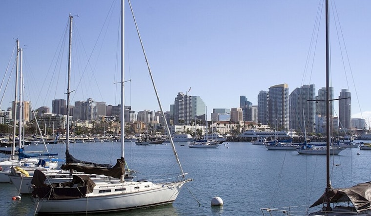
San Diegans, it's time to stash the umbrellas and pull out the sunglasses because a significant shift in weather is on the horizon. According to the National Weather Service in San Diego, after a morning dotted with light rain and drizzle, the low-pressure system from the Gulf of Alaska is giving way to blue skies. For those in the Inland Empire, your chances of rain have dwindled, with most areas expected to receive less than 0.05" if any moisture manages to squeeze itself out of the clouds.
As for temperatures, they've been playing a game of leapfrog. "Temperatures go from below normal today to near or above normal tomorrow," cites the NWS discussion. And let's not sleep on the impending heatwave. By midweek, daytime temperatures in the inland valleys and high deserts will race into the 90s, with lower deserts hitting those sweltering triple digits. And while Wednesday and Thursday are slated to be the hottest, with mercury levels threatening to tip over 100, the prediction has softened slightly, with only about a 20 percent chance of reaching those extremes, according to the Area Forecast Discussion.
A ridge of high pressure is muscling in as the low-pressure trough bows and exits eastward, ushering in warmer days, particularly for inland and desert communities. Not to be overshadowed, "A surface high following the low pressure system across the Great Basin will bring periods of weak offshore flow on Monday, with locally gusty northeast to east winds," the Area Forecast Discussion reports. So, while the Inland Empire awaits the '80s dance, the lower deserts can brace for a tango in the mid-'90s.


