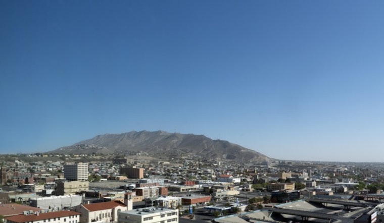
El Pasoans are facing a searing week ahead with the National Weather Service issuing a heat advisory that will persist through Tuesday night. The city, known for its dry desert climate, is expected to experience temperatures soaring up to 108 degrees. Areas impacted by this advisory include Eastern/Central El Paso County, the Rio Grande Valley of Eastern El Paso/Western Hudspeth Counties, and the Rio Grande Valley of Eastern Hudspeth County. The advisory is in effect until midnight MDT Tuesday, June 17, according to the National Weather Service.
The NWS alert urges the public to take precautions in the face of this intense heat. Recommendations include drinking lots of fluids, seeking air-conditioned environments, avoiding direct sun exposure, and keeping a diligent check on relatives and neighbors. Residents are also encouraged to don lightweight, loose-fitting clothing, and if possible, reschedule strenuous activities to the cooler morning or evening hours.
Hot temperatures like those forecasted can lead to severe heat-related illnesses. In their advisory, the NWS highlighted the importance of recognizing the signs of heat exhaustion and heat stroke, urging the community to respond swiftly to any symptoms. The week's forecast promises relentless heat with sunny conditions and temperatures remaining steadfastly in the low hundreds, only slightly dipping into the high seventies at night.
The city's usual bustle has been slowed to a languid pace as individuals seek refuge from the sun's oppressive rays. According to the forecast, today will be sunny and hot, peaking around 104 degrees with southeast winds gently blowing at 6 mph. The minimal reprieve of the night will bring temperatures down to around 78 degrees. This trajectory of high daytime temperatures is set to continue well into the week, with Wednesday forecasted at a high of 102 degrees before scaling back to 101 degrees on Thursday and just inching below the century mark by Friday.


