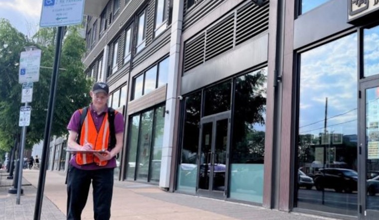
Philadelphia's City Planning Commission teams are set to canvas the streets this summer with a mission to document how the city's vast expanse of land is being utilized. The surveyors' task will involve in-person visits throughout Philly's diverse neighborhoods, cataloging details that will bridge the gap between the city's records and the current landscape, as reported by the City of Philadelphia.
In an effort to keep city data current, planners will verify the existence of structures, count building stories, and note the use of each property as either commercial, industrial, or residential; moreover, they will determine the number of residential units within a building. However, these pairs of city staffers will not dig into ownership specifics or assess conditions and vacancies, since the primary goal is to gather raw data, not to enforce compliance.
Accurate land use information is crucial for making informed decisions—and that's just what the Planning Commission intends to accomplish with this survey initiative. By updating official city records, agencies like the Department of Commerce and the Streets Department will have access to reliable data that can guide their future projects and policy recommendations. Citizens interested in browsing the current land use statistics can do so by checking out the "Land Use" layer on the city's OpenMaps platform.
The last time Philadelphia underwent such a comprehensive land use survey was in a drawn-out process from 2011 to 2018, part of the Philadelphia2035 initiative. The data gathered in the upcoming surveys, as the city informed, "will help inform Philadelphia2050," laying the groundwork for the next iteration of the city's grand plan. Philadelphia isn't unique in this endeavor—land use surveys are a common practice among municipalities, though Philly's size and the age variety of its buildings make an annual survey impractical.


