A broad surface trough moving over Hawaii is expected to bring changes to the state’s typical weather pattern. Windward areas may see increased showers, mainly during the night, while leeward regions could experience some rainfall today due to localized sea breezes. According to the National Weather Service in Honolulu, easterly trade winds are forecast to return by Tuesday and continue through the rest of the week.
A high-pressure system northeast of Hawaii is currently maintaining moderate trade winds across the islands. However, a low-level trough over the western part of the state is expected to shift winds to an east-southeast direction over the next few days, allowing for the development of sea breezes in some areas this afternoon. According to the National Weather Service, pockets of moisture may increase shower activity, especially on windward and mauka areas during the overnight and early morning hours. Scattered showers have already been observed on radar across the island chain.
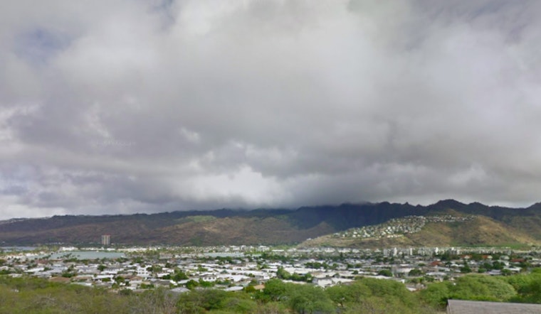
The National Weather Service has issued an AIRMET Sierra for Hawaii due to temporary mountain obscurations above 2,500 feet on windward slopes. Cloud cover and showers are expected to develop over leeward and interior areas throughout the day, driven by sea breeze convergence, which may lead to brief visibility issues in mountainous regions. Forecasters are continuing to monitor conditions and may issue additional AIRMETs for leeward areas if necessary.
Moderate to locally breezy trade winds around Hawaii are expected to ease through Monday as a weakening ridge to the north is disrupted by distant troughs to the north and northwest. Early this week, winds will shift to an east-southeast direction at gentle to moderate speeds, offering calmer conditions for boaters and coastal areas. Trade winds are expected to strengthen again later in the week.
Meanwhile, surf is rising along south-facing shores due to a small, long-period south swell, expected to peak between Sunday and Monday before gradually declining. Surf on east-facing shores will decrease as trade winds weaken, while north-facing shores will remain calm.
Fortunately, no weather warnings or advisories are currently in place for Hawaii, hence islanders can enjoy their routines with minimal disruption. Keep in mind, though, that weather conditions are as fickle as the winds and staying updated with the latest forecasts will ensure that your plans remain in accordance with the skies above.


