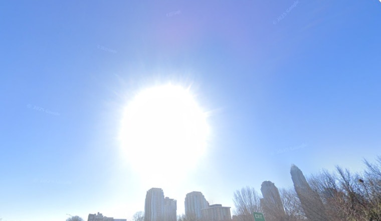
In the latest weather outlook from the National Weather Service (NWS), residents of Charlotte, North Carolina, are in for typical summer conditions with a twist of thundery drama. The forecast anticipates mostly sunny skies today, with a high near a sweltering 93 degrees and the potential for showers and thunderstorms popping up after 3 p.m. The NWS notes a 30 percent chance of these sporadic downpours occurring, possibly bringing with them less than a tenth of an inch of rain—but don't be deceived, as thunderstorms could see higher amounts.
This evening, while the thunderstorm chances persist at 30 percent mainly before 8 p.m., the weather is expected to clear up partly, settling at a low around 73 degrees, with a calm wind in the backdrop. However, the weather service cautions against strong to severe thunderstorms this afternoon and evening where damaging wind gusts could be a potential hazard, according to a hazardous weather outlook. In addition, heavy rainfall may yield isolated flash flooding incidents in vulnerable areas like urban zones along with poor drainage and low-lying localities.
Looking ahead, Charlotte's weather trend continues with a series of hot and stormy forecasts. Sunday is slated to heat up with increasing clouds and a high near 96, matched by heat index values soaring as high as 103. Light northerly winds will offer little relief, and once again, the afternoon will carry a 30 percent chance of showers and thunderstorms. Rolling into the evening, there's a repeat of possible showers and stormy weather before it clears to partly cloudy skies and a tranquil 74 degrees.
The start of the week doesn't stray far from this pattern. Monday proposes a slight chance of showers between 1 and 2 p.m., with chances jumping to 40 percent for showers and thunderstorms after 2 p.m. Amid the bouts of expected precipitation, temperatures on Tuesday and onward through to Friday fluctuate near the 90s, with the NWS highlighting that showers and thunderstorms are likely, maintaining a 60 percent chance on several days. The upcoming nightly weather similarly echoes daytime conditions with intermittent chances of showers and thunderstorms before midnight and lows consistently hovering around the mid-70s.
As for safety measures, the NWS encourages weather spotters to report any instances of large hail, damaging winds, tornadoes, or flash flooding to their office. This proactive approach might help mitigate some of the impacts these summer storms are hurled at the region, keeping communities informed and prepared. For the most up-to-date weather conditions and advisories, residents should keep an eye on the NWS website.


