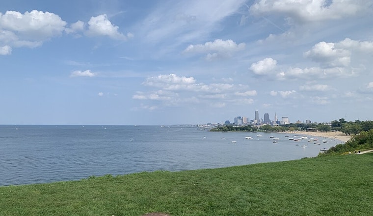
Cleveland residents can expect a mix of weather conditions in the coming days, according to the latest forecast by the National Weather Service (NWS) in Cleveland. An area of high pressure is said to bring cooler temperatures with highs in the 60s and 70s, alongside clear conditions and diminishing chances for rain. As reported by the National Weather Service, "High pressure will build into the region today and backing flow will allow for any lake effect clouds or rain to stop with some warmer return flow entering by this afternoon."
The city will also experience a cold front passage on Wednesday night, which is anticipated to move through without much fanfare due to "a lack of moisture in the region and only a marginally cooler air mass," thus not generating any lake effect clouds or rain. Frosts are expected to dodge the area, with the frost potential missing the region off to the east in PA/NY. In stark contrast to the cold mornings, "warmer return flow will allow for highs to be back toward normal in the 70s on Tuesday," according to the NWS forecast discussion.
For the aviation sector, the NWS has predicted mostly favorable conditions with "VFR, fair weather, and primarily clear sky are expected through the TAF period." A gradual shift in wind direction is expected from the northwest to the southwest as a ridge axis moves across the region, bringing calm surface winds or those around 5 knots in magnitude. One should note, for mariners, a weak trough remains over Lake Erie this morning, which may encourage the development of lake-effect clouds and possibly waterspouts and isolated showers early in the day.
The forthcoming weekend looks dry as high pressure north of the area takes hold, but there's a slight chance of rain by Sunday with the approach of a low-pressure system. However, the NWS maintains "there is potential for this system to just miss the area entirely to the northeast," allowing for more dry weather over the lake. For those setting sail, winds are expected to remain primarily light with waves staying at 2 feet or less, as noted by the forecast, pointing to a "weak MSLP gradient accompanying the ridge will allow our regional surface winds to be primarily calm or variable in direction."


