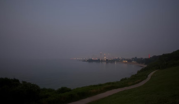
Fog is set to briefly envelop parts of Northeast Ohio and Northwest Pennsylvania early this morning, as the National Weather Service in Cleveland has issued a statement acknowledging the development of dense fog near the OH/PA border. Conditions are expected to clear by mid-morning, giving way to mostly sunny skies and highs ranging from the upper 70s to the mid-80s across the region. A "Special Wx Statement" or a "Dense Fog Advisory" could be in the cards if the fog becomes more widespread, as observed on the National Weather Service website.
Meanwhile, a backdoor cold front is slated to briefly disrupt our warm spell, moving southwest across the area during the day on Friday. This could bring a decrease in temperatures and a slight increase in cloud cover, but the front is expected to pass without much fanfare—rainfall seems unlikely at this point, though a sprinkle or two can't be entirely ruled out. As Sullivan from the National Weather Service Cleveland points out, "can not entirely rule out needing to throw in a sprinkle mention or slight chance (20%) shower mention if model agreement improves."
Looking ahead into the weekend, high pressure is forecast to hastily reassert itself from the northeast, setting the stage for a relatively cooler Friday night and a comfortable Saturday. However, even with the front stalling over some parts of Ohio and then lifting as a warm front by Saturday night, the chances of significant precipitation are slim. Winds are anticipated to shift to a north-northeast direction, possibly reaching 7-15 MPH behind the front on Friday, as detailed in the NWS forecast discussion.
The long-term outlook ushers in a bit more uncertainty, with potential showers and thunderstorms reintroducing themselves into the conversation starting Sunday and into the early week. Yet the impact on the developing drought appears to be minimal, with Sullivan noting, "any dents in the developing drought appear more cosmetic in nature than anything else." Even with the arrival of a warm front and modest increases in humidity and instability, Sullivan posits, "For perspective on this, NBM ensemble 10th percentile QPF amounts through Wednesday morning (10% chance of LESS per the ensemble) range from 0.00 to 0.10" across the area." This suggests, at least for some areas, the rain might do little more than just dampen the surface, according to the National Weather Service.
Aviation conditions are expected to be predominantly VFR with clear skies, thanks to the prevailing high pressure. Fog could affect visibility around KTOL, KFDY, and KYNG until approximately 13Z, after which conditions will improve. A lake breeze is set to induce slightly stronger northwest winds along the Northeast Ohio and Northwest Pennsylvania shorelines later today, possibly impacting aviation operations as covered by the NWS aviation forecast.


