The high rip current risk warning and coastal flood advisory have been extended for several counties along the Florida coastline. Coastal Duval, Coastal Flagler, Northeast Coastal St. Johns, and Southeast Coastal St. Johns counties are under a high rip current risk through Sunday evening and a coastal flood advisory until 6 a.m. EDT Saturday. Minor flooding of lots, parks, and roads with isolated road closures is expected, according to the National Weather Service in Jacksonville, Florida.
Winds from the northeast may gust up to 30 mph today. A slight chance of showers is forecast through the weekend with partly sunny conditions and highs near 85 degrees. Tonight, there is a 20 percent chance of showers with continued northeast winds, as per the National Weather Service. Travelers are advised to allow extra time, avoid driving around barricades, and not drive through water of unknown depth.
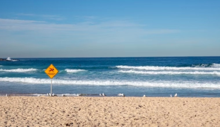
Beachgoers are advised to swim near lifeguards and follow rip current safety guidance. Those caught in a rip current should relax, float, and swim parallel to the shoreline if possible or signal for help if unable to escape.
The upcoming days will bring a mix of mostly sunny and partly cloudy skies with chances of showers and thunderstorms ranging from 10 to 40 percent. Temperatures will remain in the mid-80s.


