According to the latest from the National Weather Service (NWS) in Cleveland, this system will park itself across the northeastern US and exert its dry, cooler influence throughout the weekend.
A weak cold front skimmed through the area, doing little more than having us bid adieu to slightly warmer temps. There wasn’t much drama, but the aftermath is a tighter pressure gradient about to kick northeast winds up a notch. Starting tonight through Wednesday, the National Weather Service reports that you’ll feel gusts reaching 20 to 25 mph, especially if you’re downwind from Lake Erie. Be ready for some brisk breezes and, dare say, it's a proper time to break out those fall jackets. Wednesday will feel quite dry, with dew points taking a nosedive.
The incoming air mass is flipping the script to the 40s and 50s tonight, and come Wednesday, temperatures topping in the 60s to lower 70s are on the marquee, according to NWS Cleveland.
The news keeps getting better for those grabbing their fishing rods or windbreakers in anticipation of the weekend. The NWS long-term forecast tells of a continuous dry spell with temperatures graciously staying above normal, lingering in the 70s and lower 80s. But by Monday, don’t be surprised if you feel the humidity creep up a touch, as the upper ridge axis likely will drift farther east of the area.
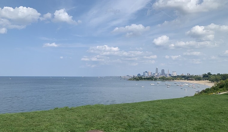
A Small Craft Advisory is in effect, with the northeast winds hefting waves up to 3 to 7 feet. Beachgoers should watch for Beach Hazard Statements due to the heightened risks of rip currents. So, better steer clear until these advisories lapse by Wednesday evening. Come Thursday, things should settle down to a mild easterly wind scenario on the lake.


