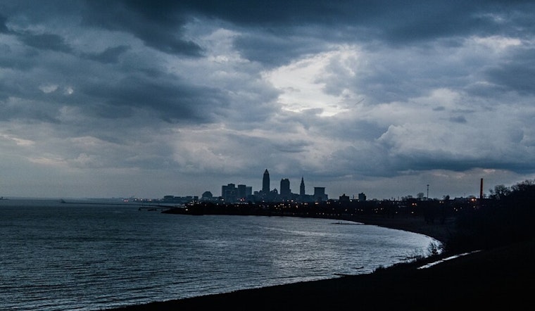
The National Weather Service in Cleveland has been closely monitoring a stationary front that is expected to settle on the central Great Lakes before heading south towards Ohio on Tuesday night. According to NWS's latest area forecast discussion, this system is set to stall over the region on Wednesday, with a subsequent low-pressure system moving from the Mid-Mississippi Valley to the Central Great Lakes by Thursday. For Clevelanders, this means a varied week of weather, with a mix of showers, thunderstorms, and potential breaks of sunshine ahead.
Monday's forecast brought a nuanced twist, with the NWS updating their hourly PoPs—probability of precipitation—to reflect a temporary cut through this morning. They've also predicted patchy fog set to envelop Northwest Ohio after tonight's rain shield moves across the area. In the words of the forecast discussion, "Most model guidance have pretty soupy conditions developing in the wake of the precipitation shield." NWS further clarified that while showers and storms are expected to uptick after ~19/20Z from the southwest, the risk of severe weather is broadly supported but rather unlikely due to various inhibiting factors such as mid-level dry air and poor lapse rates.
The weather's impact extends beyond the ground, with aviation forecasts predicting challenging conditions for flights. With a low confidence forecast, the timings of the concentrated periods of showers and thunderstorms remain uncertain. The report points out that, "Very challenging and relatively low confidence TAF forecast in terms of timing the most concentrated periods of showers and thunderstorms." Pilots can expect varying conditions, with potential drops to MVFR/IFR—Marginal Visual Flight Rules/Instrument Flight Rules—this afternoon, particularly affecting airports along and east of I-71.
Onto the marine forecast, where Lake Erie's waters are expected to remain relatively calm outside of the scattered thunderstorms that could temporarily disrupt the tranquility with higher winds and waves. Winds are set to shift from SW to NE by late Tuesday and increase on Wednesday as a new low-pressure system approaches. The NWS marine forecast also highlights a turn to SE winds, set to ramp up further come Wednesday night into Thursday. Come Friday, things are looking up with "high pressure attempts to build in from the Upper Midwest," signaling an end to the tumultuous weather.
As the weather continues to shift throughout the week, Cleveland residents should stay updated with the National Weather Service's forecasts for the latest changes and prepare accordingly for their daily routines—whether it's on land, in the air, or on the water.


.jpg)