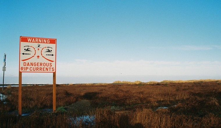
The National Weather Service in Jacksonville issued a coastal hazard message early this morning, warning residents and beachgoers in Northeast Florida of a high rip current risk starting from 8 AM EDT today through late Monday night; the advisory highlights dangerous rip currents expected along the coast, posing a serious threat to those venturing into the water.
Specific areas affected include Coastal Nassau, Coastal Duval, Coastal Flagler, Northeast Coastal St. Johns, and Southeast Coastal St. Johns regions, and while the advisory is in place, the Rip Current Statement by the NWS advises that individuals looking to swim should do so near a lifeguard and if caught in a rip current, it is crucial to relax, float and not swim against the current—if possible, follow the shoreline or, if unable to escape, signal to the shore for assistance.
In addition to the Rip Current Statement, the NWS provided a detailed weather forecast for Jacksonville, FL, which predicts sunny skies today with a high near 78 degrees, while the night will be clear with a low around 62; winds from the northeast may gust as high as 18 mph, the forecast is looking mostly sunny for tomorrow with a breeze picking up, where gusts could reach up to 26 mph.
Looking ahead, the weather appears to stay breezy with chances of showers and thunderstorms increasing starting Sunday afternoon and into the following week—a 40 percent chance of precipitation Sunday night and a 50 percent chance of showers and thunderstorms by Monday; despite this, temperatures will continue to be moderate with highs hovering around the mid-70s to near 80 degrees throughout the week.


