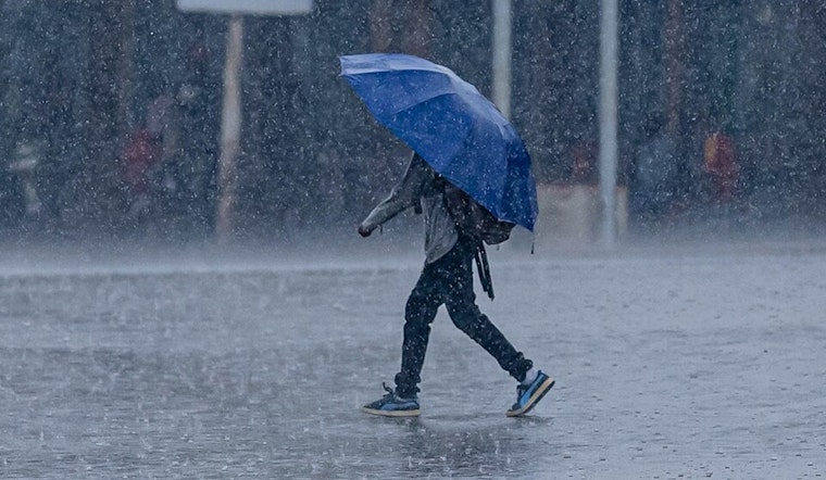
Honolulu's forecast is looking a bit like nature's own mixed bag, as per the latest from the National Weather Service (NWS). Residents can expect "generally breezy trades the next couple of days," as well as a slight uptick in strength as the week closes. For those who've been yearning for a respite from the dry spell, scattered showers are set to provide some relief, particularly in windward and upslope mauka areas. A noteworthy detail from the NWS report states, "A weak trough lingering over the state, along with daytime heating, may provide just enough instability to result in late day isolated thunderstorm activity over Big Island summits."
City-dwellers may only see a brief splash, with "widely scattered progressive-moving showers" expected to leave no more than a few hundredths of an inch of rain this morning. Interestingly, the higher Monday rain accumulations were tucked within Kauai and Oahu's lush terrains, with "greater than an half of an inch" noted in these regions, as reporetd by the NWS. The troughing pattern that's been hanging around is one of the culprits behind a wetter week on the horizon, keeping the showers company and throwing some thunderstorms into the mix alongside the Big Island's Mauna Kea and Mauna Loa ranges.
But weather isn't just affecting those on land. Mariners are also taking note as the trade winds blow steadily. The NWS has extended a Small Craft Advisory, with waves expected to build to 10 feet or higher, extending "through Wednesday night." Surfers might find a silver lining as these conditions usher in "back to back small to moderate, long period north northwest to north swells" that will keep the north and west shores lively. According to the NWS, "Another, slightly larger, moderate, long period swell (330-340 degrees) will fill in Friday," promising an exciting, albeit potentially rough, weekend for wave riders.
Turning our eyes back to the land, it's not just umbrellas that will be on the rise – fire weather concerns are temporarily dampened with "higher afternoon humidity with occasional showers" detailed in the weather service's synopsis. Yet traders looking to strengthen their grip later this week, might to pit themselves against a potential uptick in critical fire weather thresholds. Still, "continued elevated humidity" should help keep the flame risks at bay.


